
Trails
With over 300 miles of trails throughout Coachella Valley, it’s pretty easy to connect to the land here. However, it also is easy to get lost, get dehydrated, and get disoriented in the California desert.
We say this not to scare you but to prepare you! Use this list of trails as a resource, but please make sure you do your homework. Check with the appropriate agency to make sure trails are open and in what condition. We recommend you do not hike alone, bring more water than you think you’ll need, tell someone where you are going and when you’ll be back, and always carry your 10 Essentials for Desert Hiking!
Hike with Friends! We lead FREE public hikes on many of the local trails, check out our Calendar
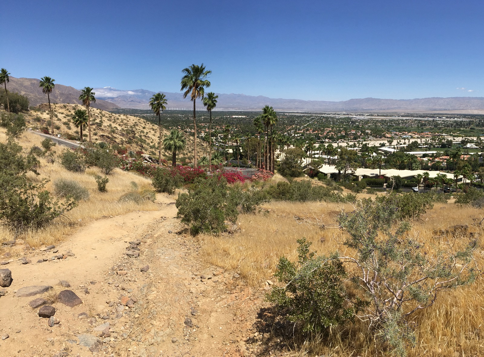
Trailhead is off Southridge Drive in Palm Springs. Exercise trail with both scenic valley vistas and views of famous homes. Hike to Bern’s Trail junction; return.
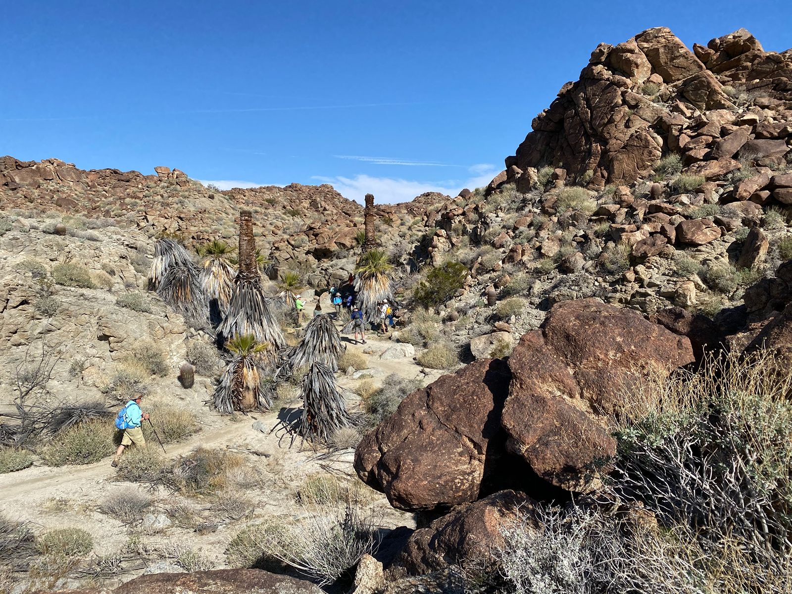
Trailhead parking is past the driveway for the National Monument Visitor Center in Palm Desert, approximately 100 feet on the southwest side of Highway 74. Facing the hill, walk to right end of parking lot. At trailhead sign, follow path, staying to the right as it hugs the hill. Keep going up. Hopalong will break off to the right, but keep going straight. Follow trail until you arrive at the Oasis. You will know the oasis by its palms; sadly, there are no camels. Return by the same route.
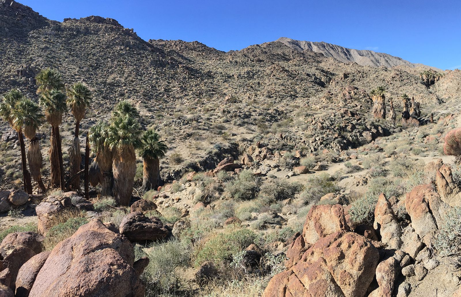
Trailhead parking is past the driveway for the National Monument Visitor Center in Palm Desert, approximately 100 feet on the southwest side of Highway 74. Facing the hill, walk to right end of parking lot. At trailhead sign, follow path, staying to the right as it hugs the hill. Keep going up. Hopalong will break off to the right, but keep going straight. Follow trail until you arrive at the first Oasis. After the photo-op, continue up to the second oasis before returning by the same route.
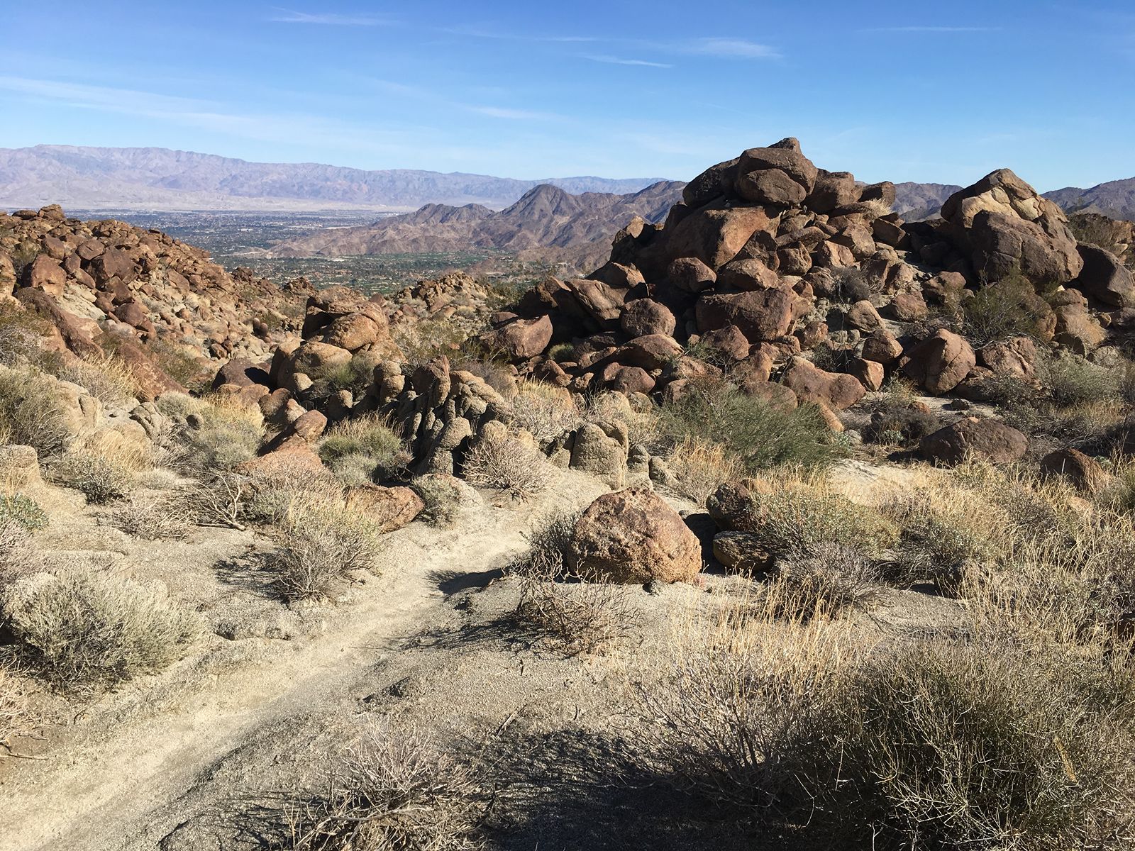
Trail starts at end of Foothill Rd. in Cathedral City; follow to the right of the last house, turning right up the hill. Turn left on Dunn Rd. Turn left at Art Smith. At fork (Magnesia Springs), keep right. Trail continues down, passing second and first oases. Hopalong Cassiday will intercept, but keep right. Trail ends at Art Smith parking lot. Fun fact: Desert Rider Rider Art Smith established the Desert Riders Trail Foundation, a nonprofit trust dedicated to trail preservation and building
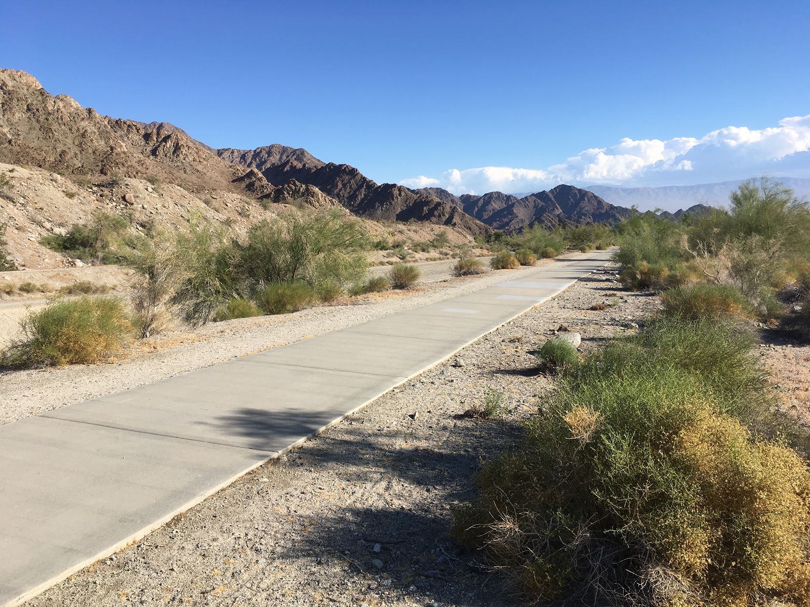
Trail begins near the intersection of Avenida Madero/Calle Tecate in La Quinta. Urban walk especially nice at sunrise/sunset, when the light colors the hills. Walk to Avenida Carranza cul-de-sac; return.
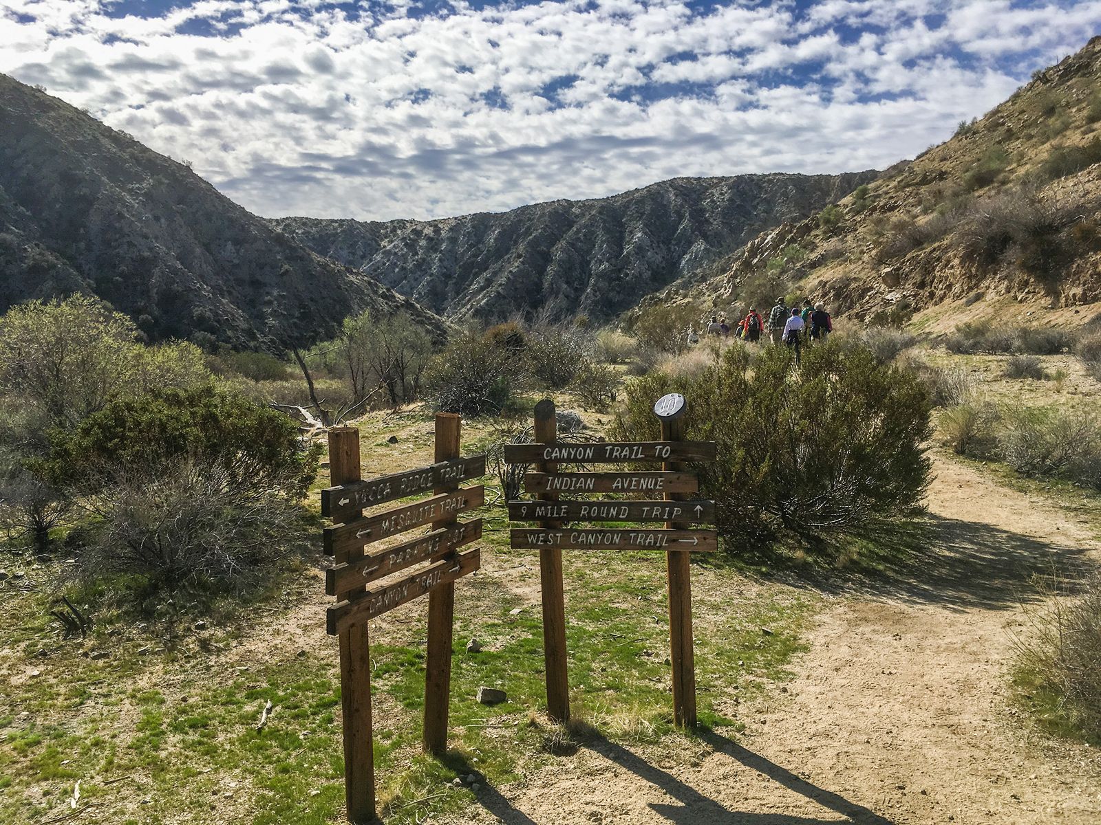
A one-way hike with lots of variety at the Big Morongo Preserve in Morongo Valley. Riparian oasis to wash to canyon. From parking lot, turn right on Marsh Trail (boardwalk); Left on Mesquite Trail (marker 5); take West Canyon Trail to N. Indian Canyon in Desert Hot Springs. Hopefully, you left a vehicle here for the return to the trailhead.
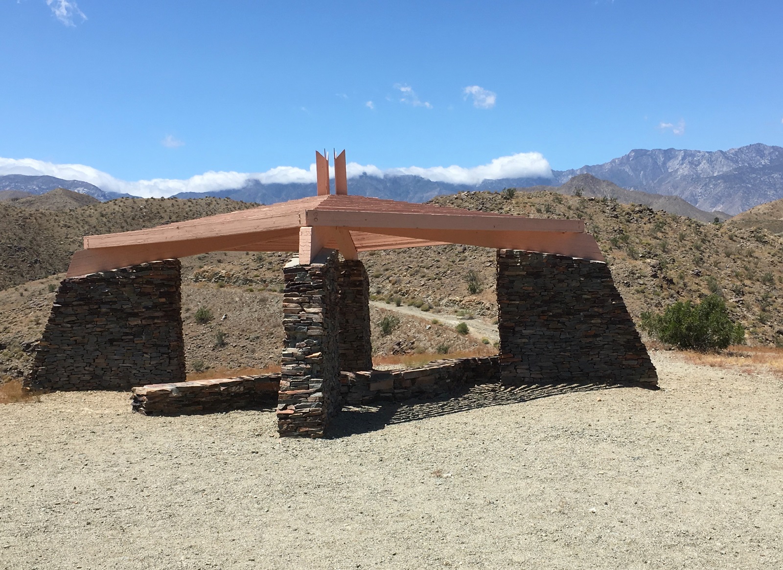
Nice downtown trail to jumpstart your day or end it with an evening constitutional. From the parking lot behind the Rancho Mirage City Hall, follow zig-zag trail up to shelter; continue left and around to Jack Rabbit ending at the paved Frank Sinatra drive; return.
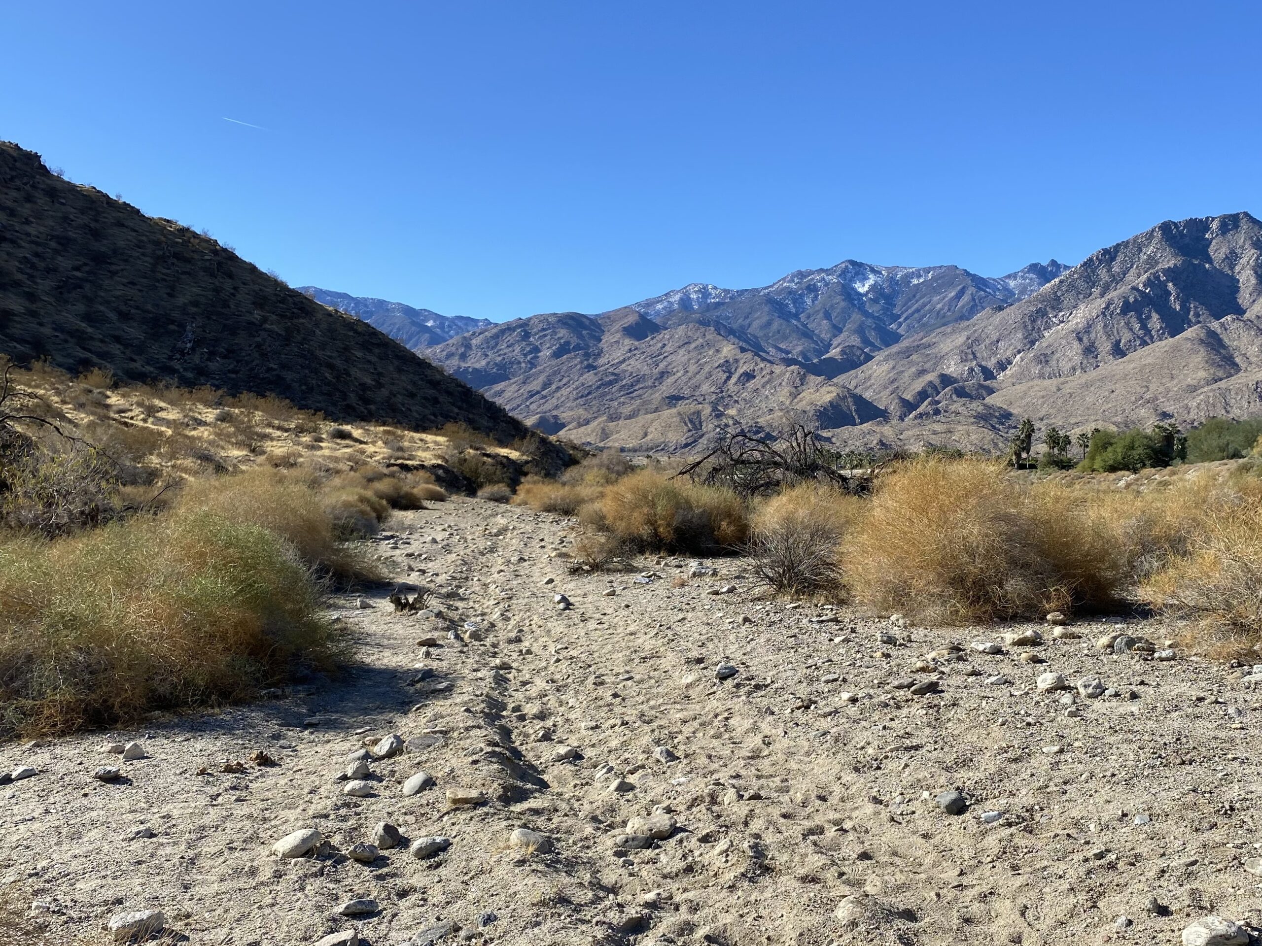
Trailhead is off of Barona Rd. in Palm Springs. While you won’t catch a glimpse of Bob, you will get a nice view of his famous home. Take trail up to the right; left at Garstin/Berns junction; left at Shannon/Bern’s junction; left at Earl Henderson; back to lot.
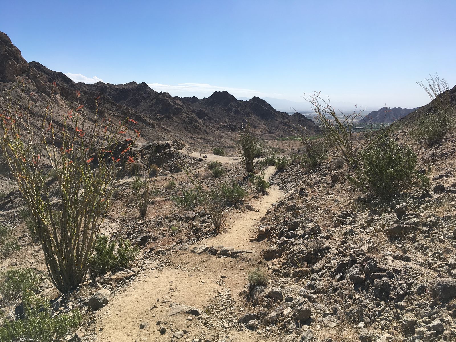
Trail begins off the parking lot at Avenida Bermudas/Calle Tecate in La Quinta Cove. Views of Salton Sea and beyond. Cove Oasis Trail; Right on Boo Hoff Trail; Left at fork; continue on Jefferson St; walk between buildings; left on La Quinta Cove to Lake Cahuilla Trail; right on Cove Oasis to parking.
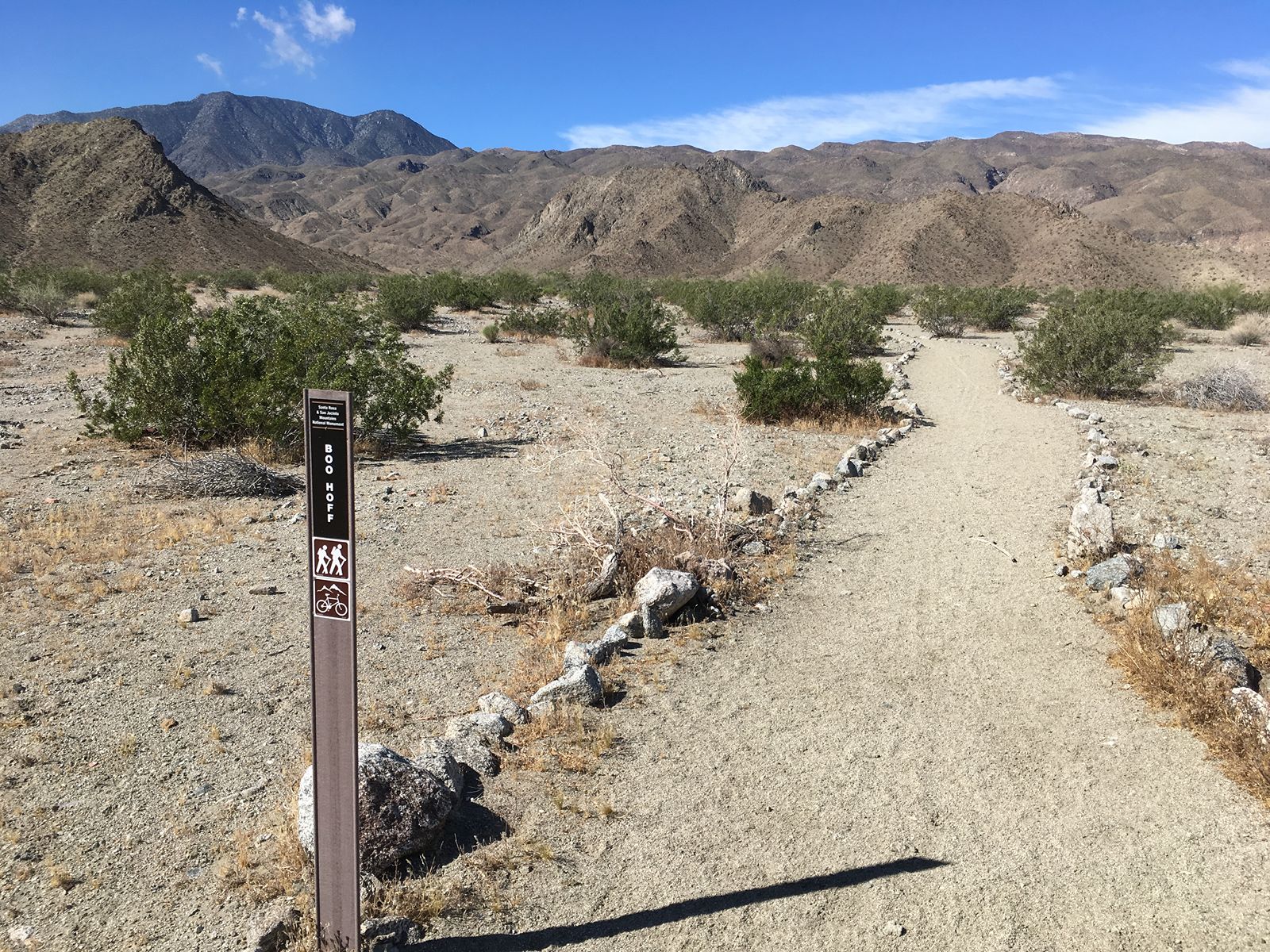
Trail begins off the parking lot at Avenida Bermudas/Calle Tecate in La Quinta Cove. Views of Salton Sea and Coachella Valley. Cove Oasis Trail; Right on Boo Hoff Trail; return. Fun fact: Boo was a charter member of the equestrian Desert Riders. No relation to that Radley guy.
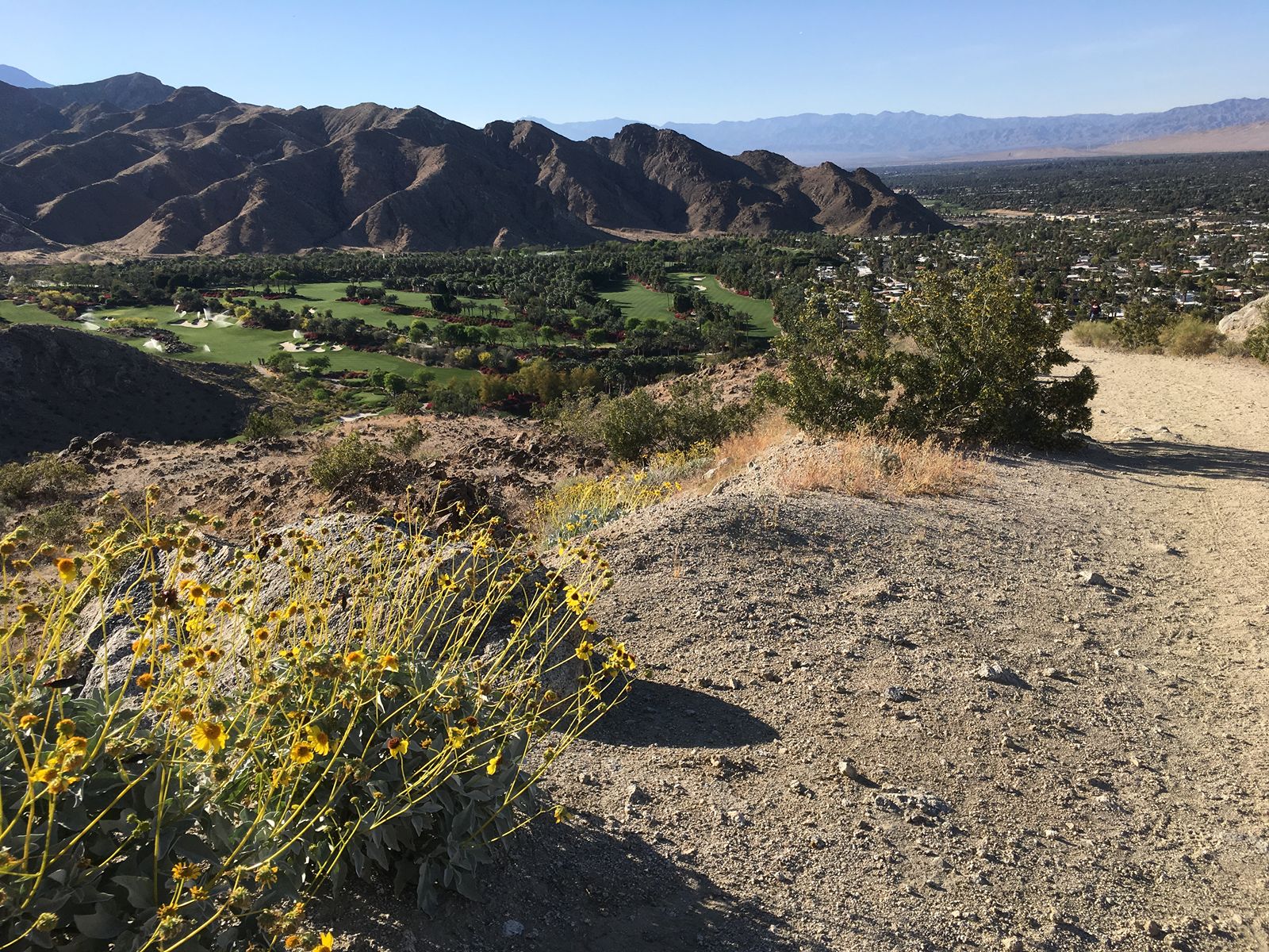
This is a very popular “exercise trail” for locals, many of whom hike it daily. From Painter’s Path road behind Target in Palm Desert enter the trail at the Bump & Grind sign. Turn left on Hopalong Cassidy; right on Herb Jeffries, up steep ridge; turn right upon rejoining road (Bump & Grind (Lower) Trail); take right hairpin (Mike Schuler) back to Painter’s Path.
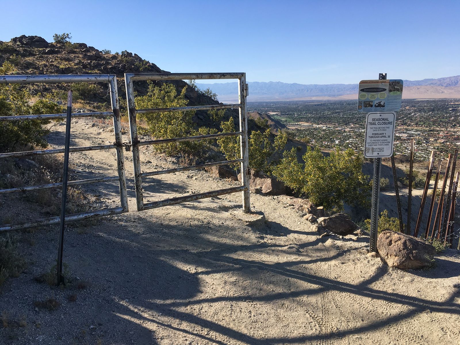
Same as Bump & Grind, except you continue past gate to top of trail. Closed 2/1 -4/30 yearly (CVMSHCP Public Use and Trails Management). From Painter’s Path road behind Target in Palm Desert turn left on Hopalong Cassidy ; right on Herb Jeffries, up steep ridge; turn left upon rejoining road (Bump & Grind (Upper) Trail); 1/2 mile to top; enjoy view; return; left on Bump & Grind (Lower) Trail; take right hairpin (Mike Schuler) back to Painter’s Path. Congratulate yourself. Fun fact: Herb Jeffries was an African-American singer and movie cowboy star, and a resident of Palm Desert.
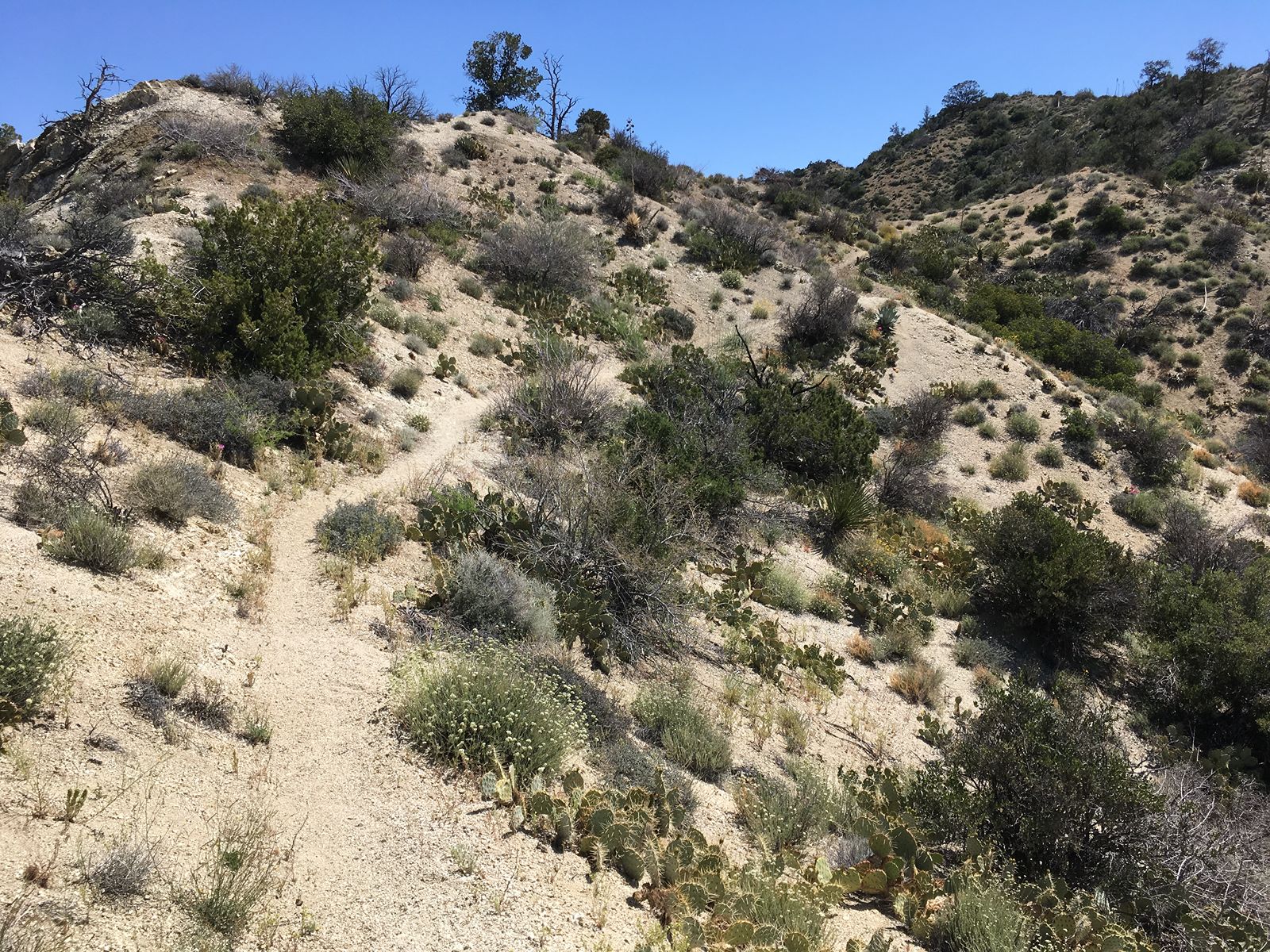
Register at sign-in box just past trailhead. From parking lot off of Pinon Flats Transfer Station Road in Mountain Center, follow signs for Cactus Spring Trail; continue past Dolomite Mine, to Santa Rosa Wilderness boundary. Use extra caution: route may be inadequately signed/maintained. Follow trail down and across Horsethief Creek. A steep climb will take you east and into Little Pinyon Flat. Cactus Spring is approximately 100′ north of trail in a small drainage. Return.
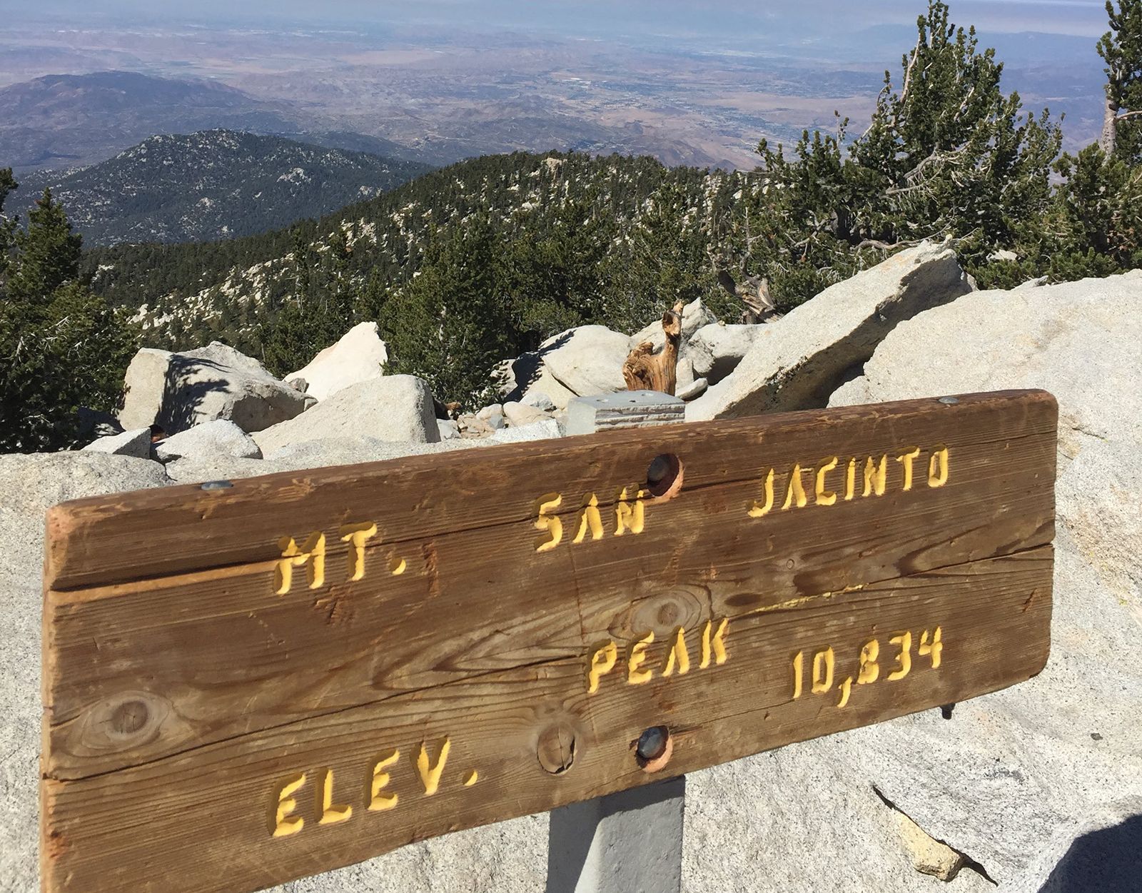
Okay, this is killer. Don’t say we didn’t warn you. From the trailhead behind the Museum lot in Palm Springs, take Museum trail up, up, up. Continue past picnic tables to junction with N. Lykken, turn right. Take Skyline (left). This goes on, and up, for, like, ever. It seems. Finally, you follow the road to the tram station. If you are sensible, you will take the tram back down the mountain. We won’t tell. Otherwise, you must get a permit from the Ranger to continue on. Take the Round Valley trail, straight onto the Wellman Divide trail; at the junction, turn right on Wellman, and continue up to San Jacinto Peak. Now, return to the tram station and ride back down the mountain. Definite bragging rights.
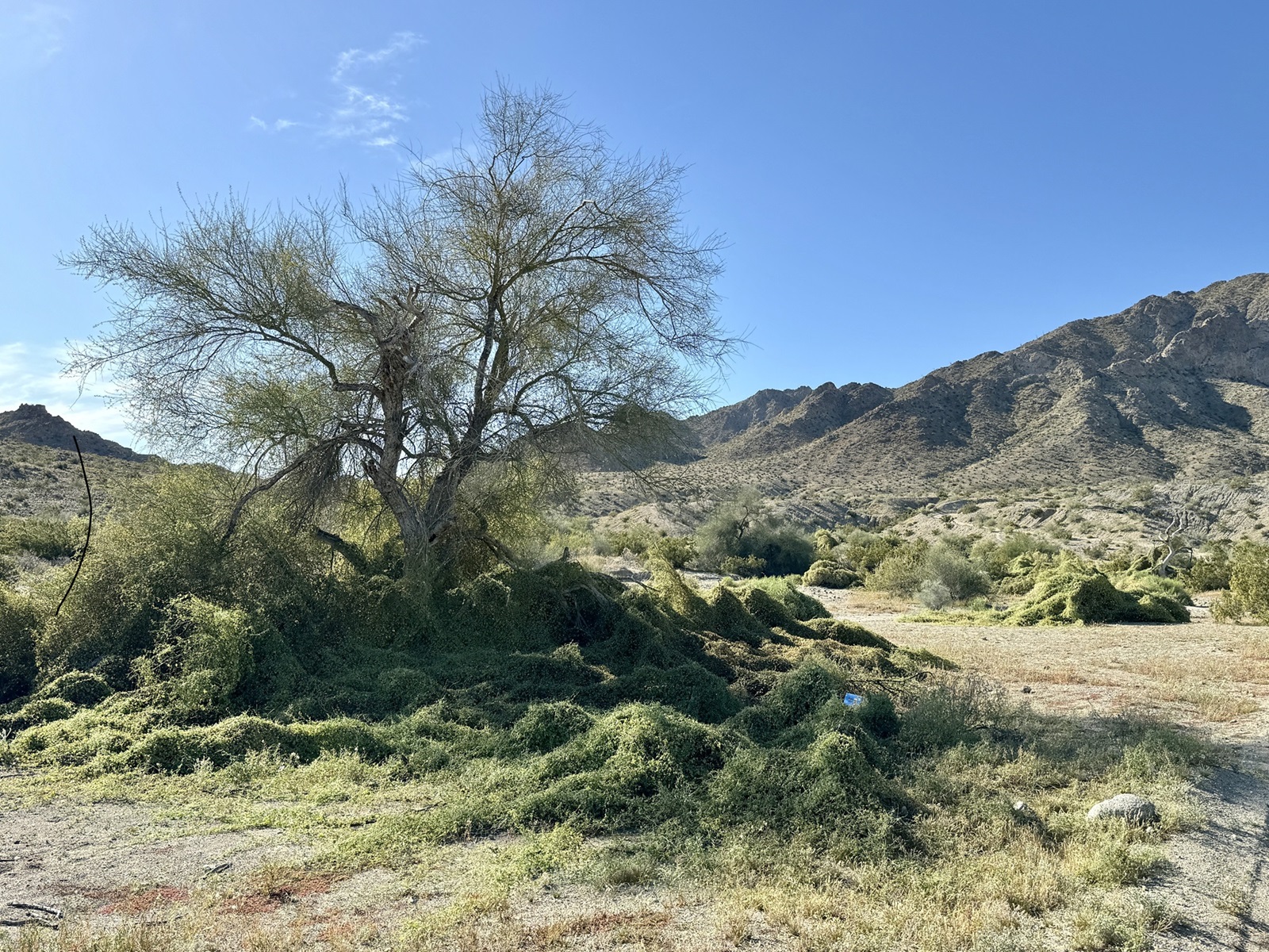
Trail begins off the parking lot at Avenida Bermudas/Calle Tecate in La Quinta Cove. From parking area, walk along street a short distance to trailhead. Start ahead, turning left on Cove Oasis trail. At junction with Boo Hoff, take left onto La Quinta Cove to Lake Cahuilla Trail. Take left turnoff at sign for short distance to top of rise. Take in view of valley and lake. Return the same way.
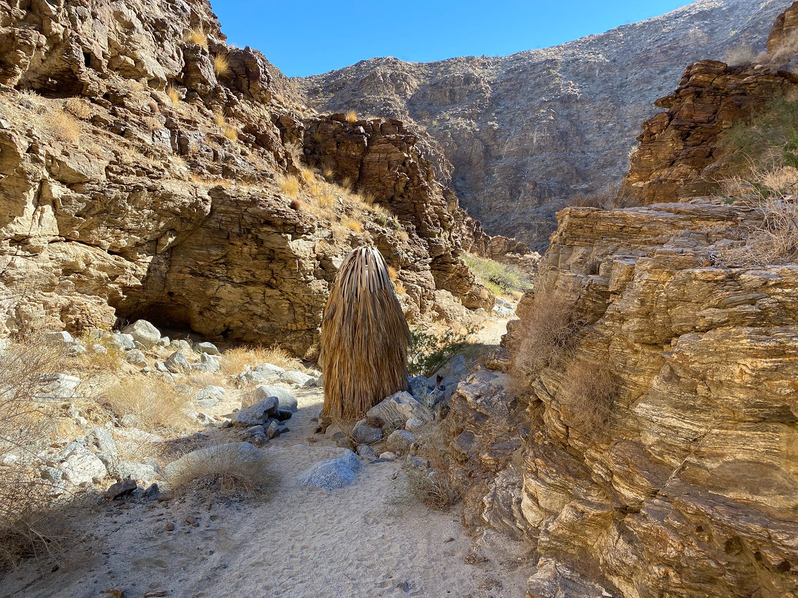
Trailhead parking is past the driveway for the National Monument Visitor Center in Palm Desert, approximately 100 feet on the southwest side of Highway 74. From left side of parking lot, follow hard-packed path through gate, curving to the left and across to the base of the hill. Trail turns right, turning sandy as you follow the wash. Enter the canyon, pass the lone palm tree – when you get to the canyon junction with the large boulder, you can choose. Going right will take you to the dry waterfall. Going left will take you to the scenic overlook – you must scramble over an 8 foot dry waterfall and then make an immediate right to get there. This trail is in bighorn sheep habitat and is only open from Oct. 1 – Dec. 31.
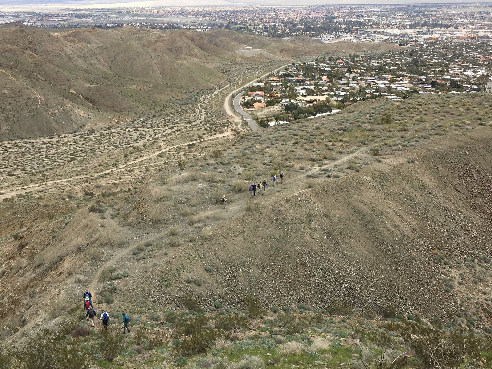
Trail starts at end of Foothill Rd. in Cathedral City; follow to the right of the last house, turning right up the hill. Continue until reaching Dunn Road; return.
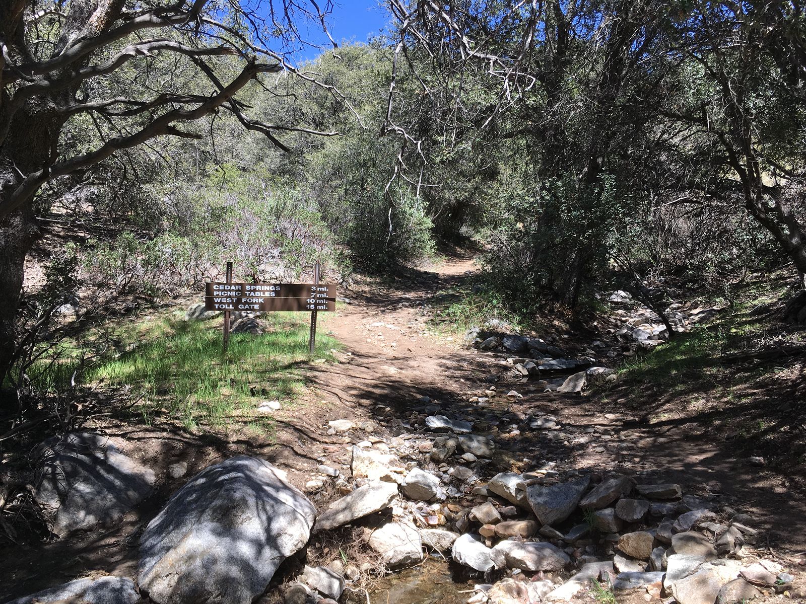
This trail crosses private property; please stay on dirt road. At Cedar Springs Trail 4EI7 in Mountain Center, follow trail up mountain. A series of switchbacks will bring you to the junction of the Pacific Crest Trail. Cross the PCT (bragging rights that you “hiked” the PCT!) Continue on Cedar Spring; nearing your goal, you will hike down to the cedars and the spring (hence the name). Enjoy before returning by the same route.
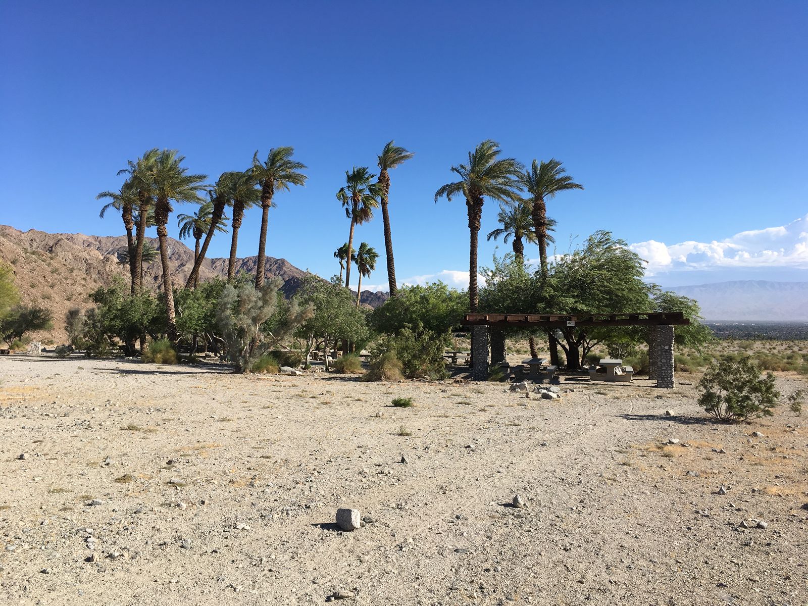
Trail begins off the parking lot at Avenida Bermudas/Calle Tecate in La Quinta Cove. From parking area, walk along street a short distance to trailhead. Turn right at fork, and follow trail around back to lot.
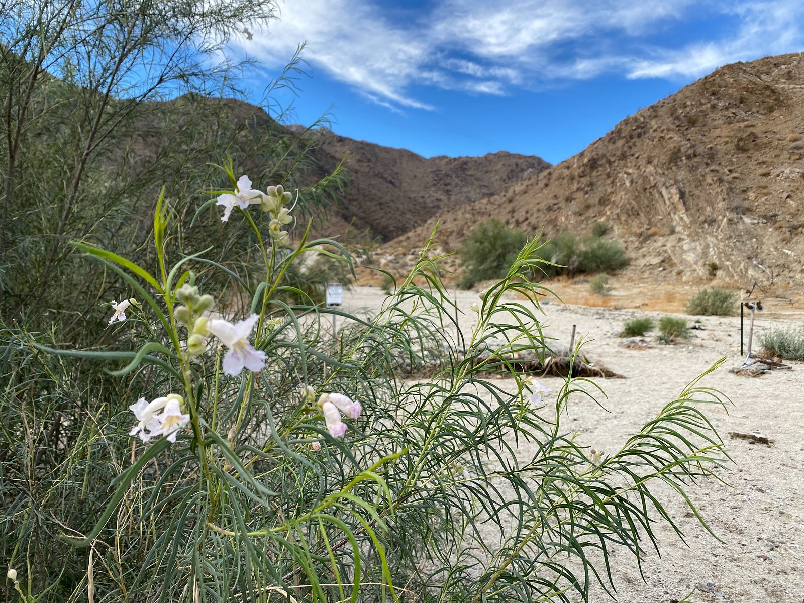
Trailhead parking is past the driveway for the National Monument Visitor Center in Palm Desert, approximately 100 feet on the southwest side of Highway 74. There are various stories about how this trail got its name. From right side of parking lot, follow trail around hill to the left. Sandy trail continues back, hugging hill on left; ends at oasis. You can return the same way, or follow wash on other side. This trail is in bighorn sheep habitat and is only open from Oct. 1 – Dec. 31. The good news is those sheep like to hang out in the field behind the dam so you can often see them from the top of the dam year-round!
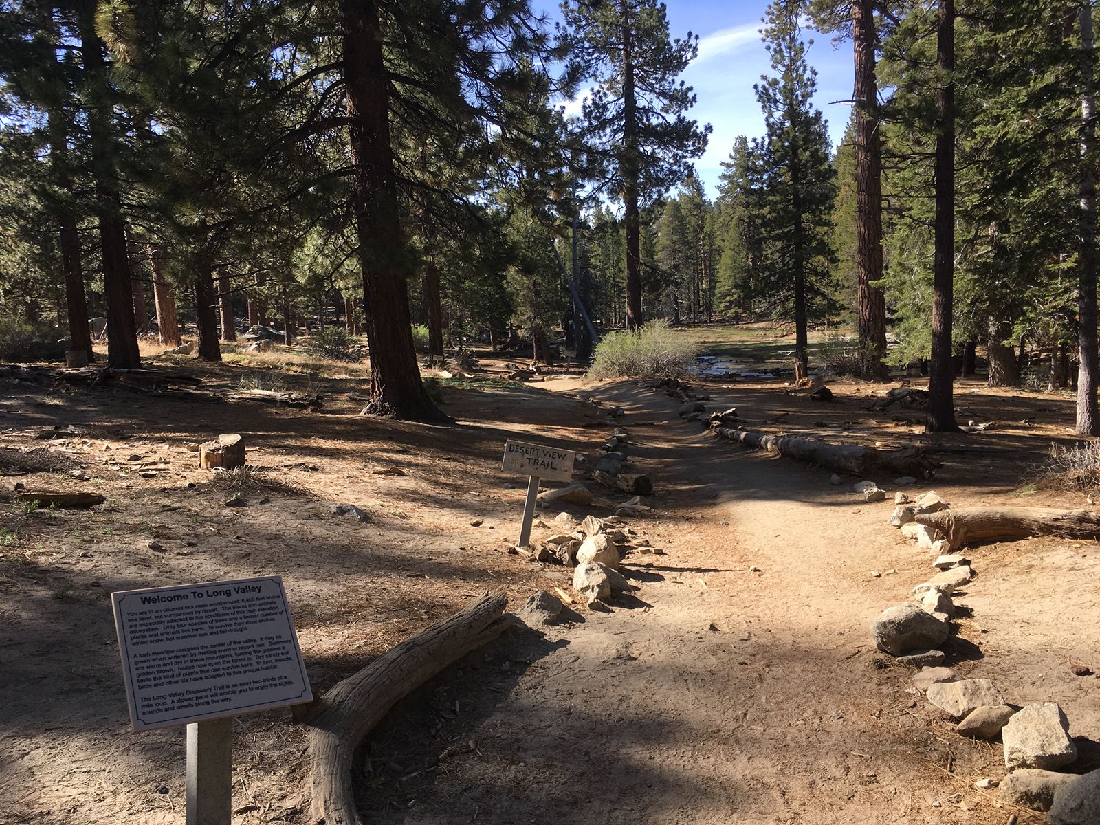
This trail requires purchase of a Palm Springs Aerial Tram Ticket. From the top of the tram, follow paved path down to Long Valley; turn left on Desert View trail. Rejoin Nature View to return to Tram Station.
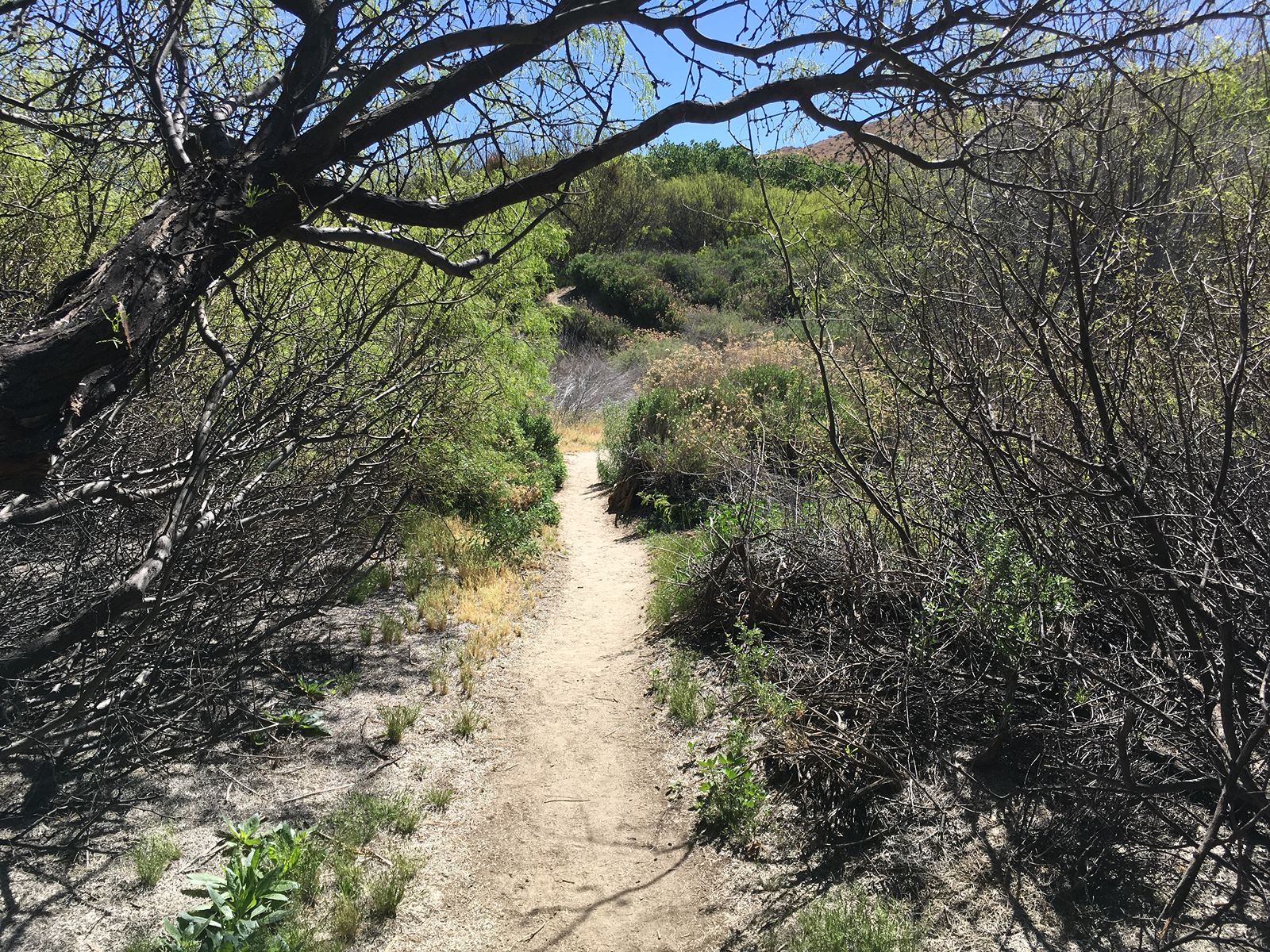
A variety of habitats are experienced on this trail at the Big Morongo Preserve in Morongo Valley. Keep an eye out for Mule Deer. Take Marsh Trail boardwalk to Desert Willow turn off (Marker 2). At junction with Yucca Ridge Trail (Marker 3), keep on Desert Willow. Rejoin Marsh boardwalk (Marker 4). Return to parking lot. Fun fact: The Morongo fault running through the canyon causes water draining from the surrounding mountains to form Big Morongo Creek and the marsh habitat.
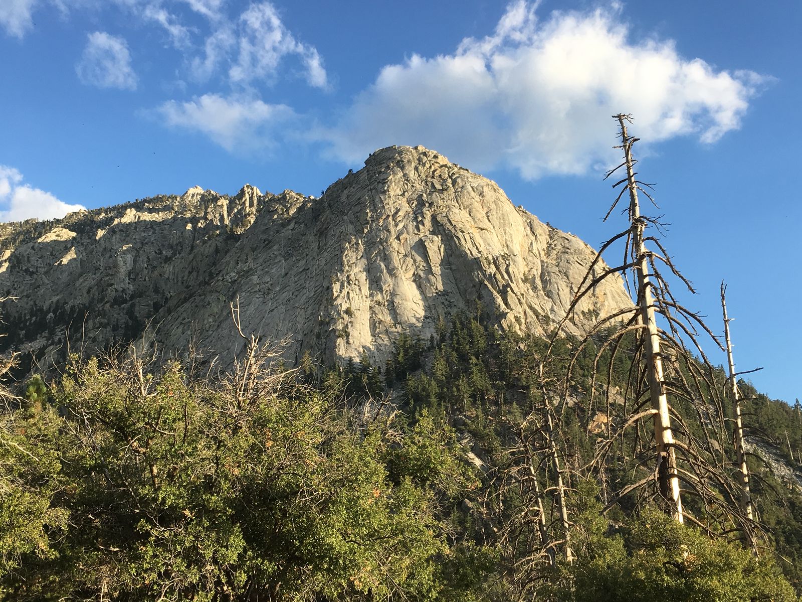
Wilderness hiking permits required; limited to 30 permits on weekends from Memorial Day through Labor Day. From the Humber Park parking area in Idyllwild (car parking permits required, obtain from USFS office on Pine Crest), start climbing Devil’s Slide Trail, which consists of many switchbacks and scenic views. This hike ends at Saddle Junction (Pacific Crest National Scenic Trail and Willow Creek Trail intersect here). Return.
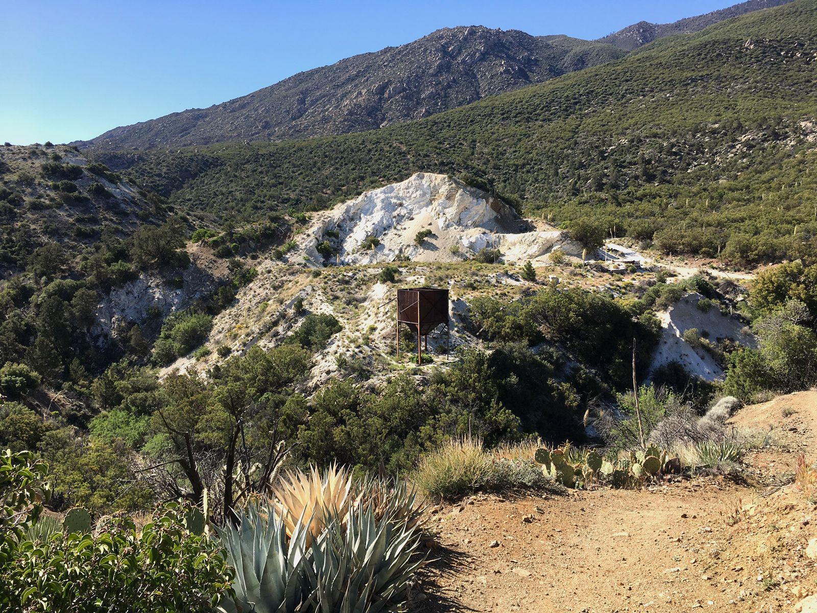
From Sawmill trailhead parking lot off of Pinon Flats Transfer Station Road in Mountain Center, follow trail, crossing Pigeon Springs Road. You are now on Cactus Spring Trail. Take right fork down into the Dolomite area. Explore. Return.
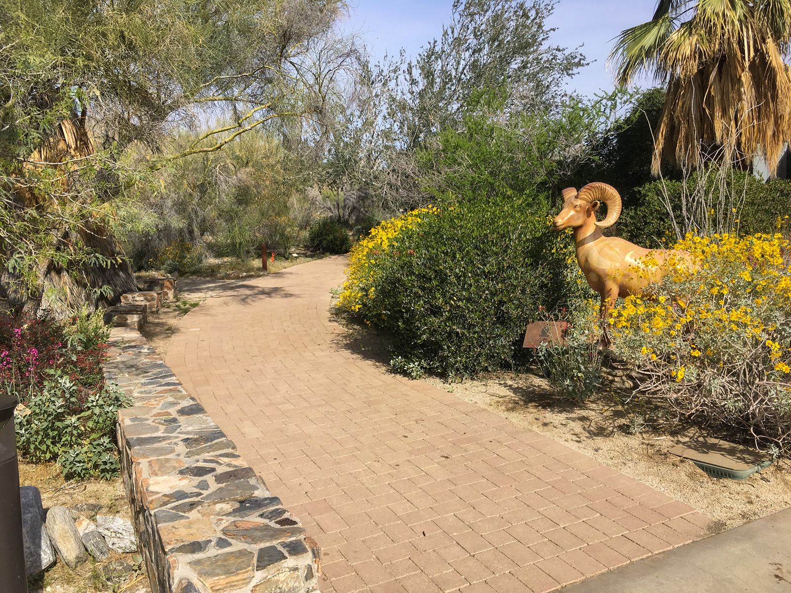
This is an easy walk featuring many desert plants behind the National Monument Visitor Center in Palm Desert. Fun fact: Ed was state director with the BLM.
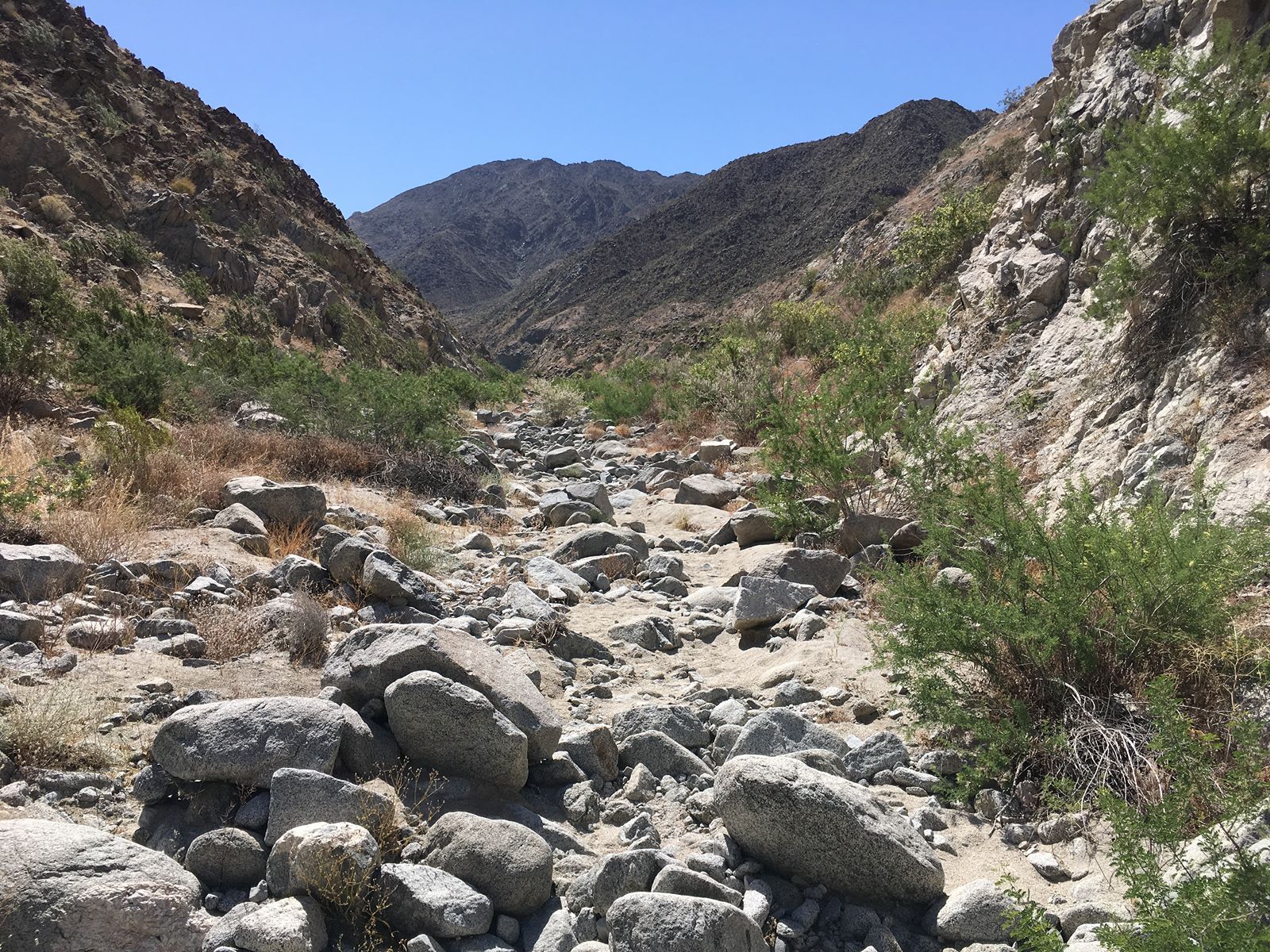
Admission purchase required at Living Desert. From parking lot, enter the Living Desert and follow signs to trailhead. Cross wash before climbing to the right. Trail will loop around to left. Various terrains including hardpan, loose sand, and boulders. Watch where you put your hands. Because …. snakes. This Wilderness Loop returns to Living Desert. Two shorter loops are available: The Discovery Loop and the Adventure Loop.
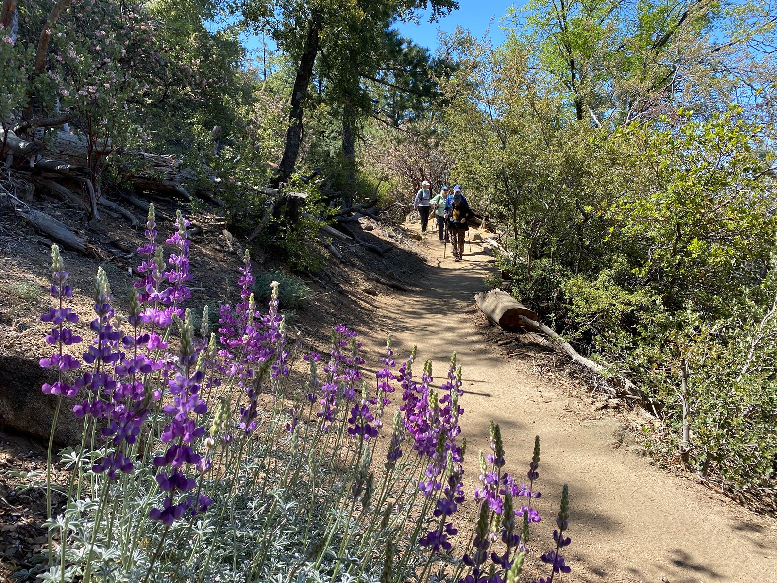
A nice family and dog-friendly trail featuring a walk in the woods. From the Humber Park lower parking area in Idyllwild (car parking permits required, obtain from USFS office on Pine Crest), take the Maxwell trail down to the dirt road; return. Fun fact: Ernie started the Idyllwild Town Crier.
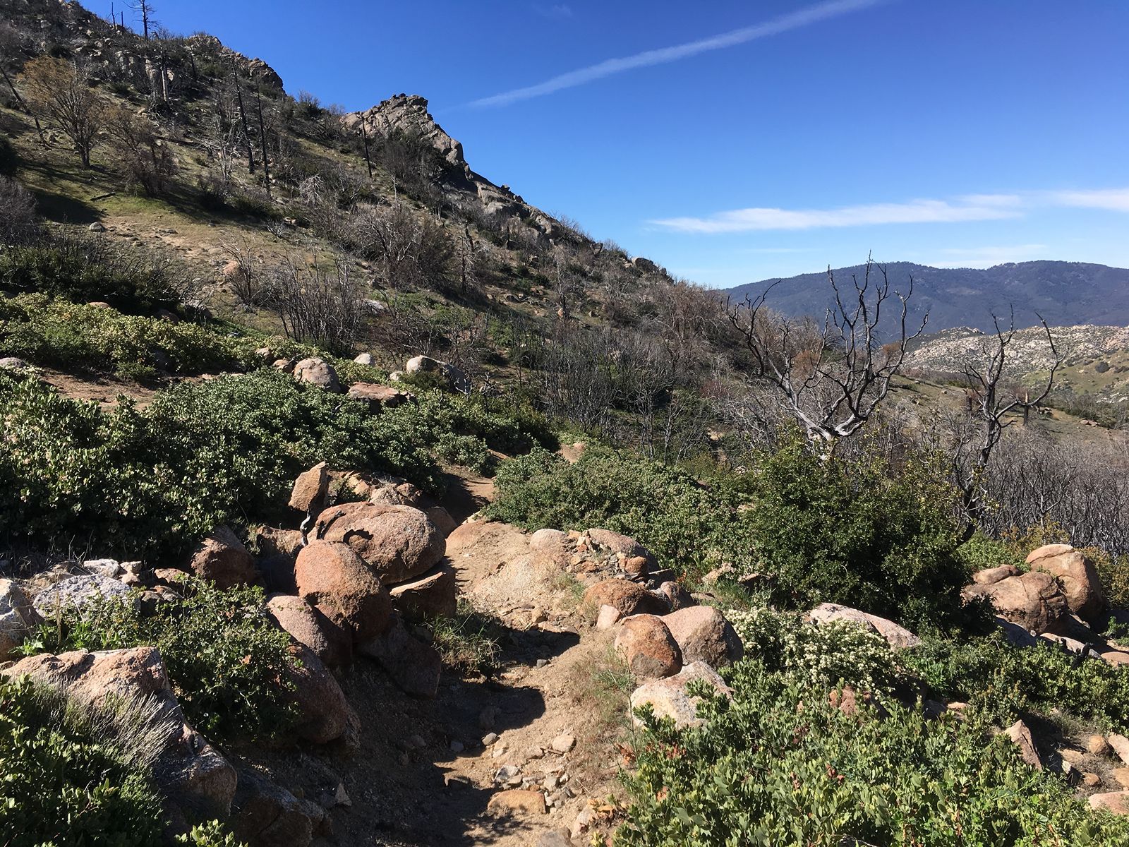
The trailhead is accessed from Fobes Ranch Road, a dirt road off of Hwy 74 in Mountain Center. From trailhead, take trail all the way up to the junction with the Pacific Crest (National Scenic) Trail. Landscape features chaparral and oak. Return.
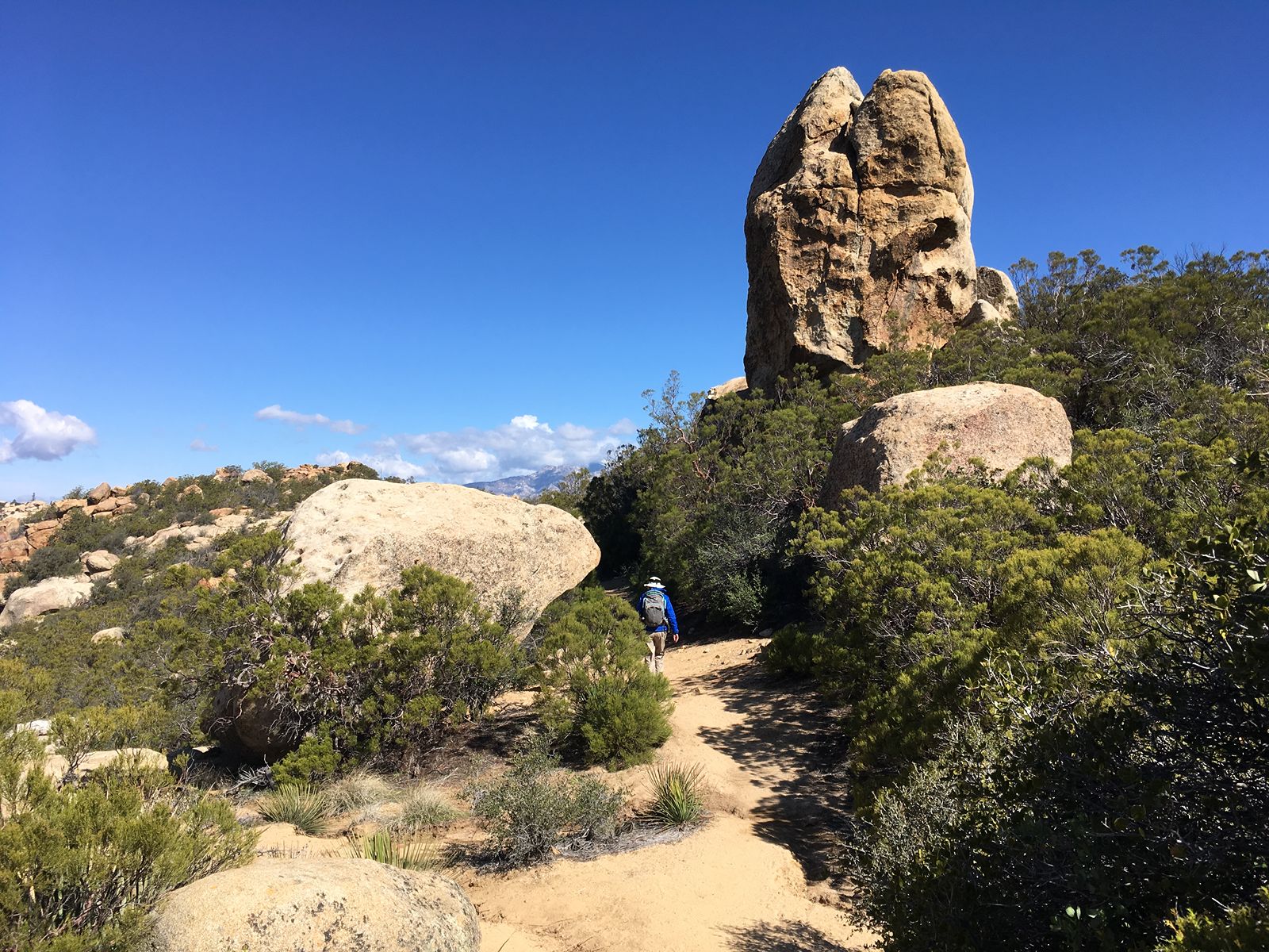
This trailhead is easy to miss – located approximately 1 mile east of the junction of Hwy 371 on Hwy 74 in Mountain Center. From parking, climb Pacific Crest Trail for approximately 2 1/2 miles. Before returning, take in views of Garner Valley, and maybe try some rock climbing on all those boulders!
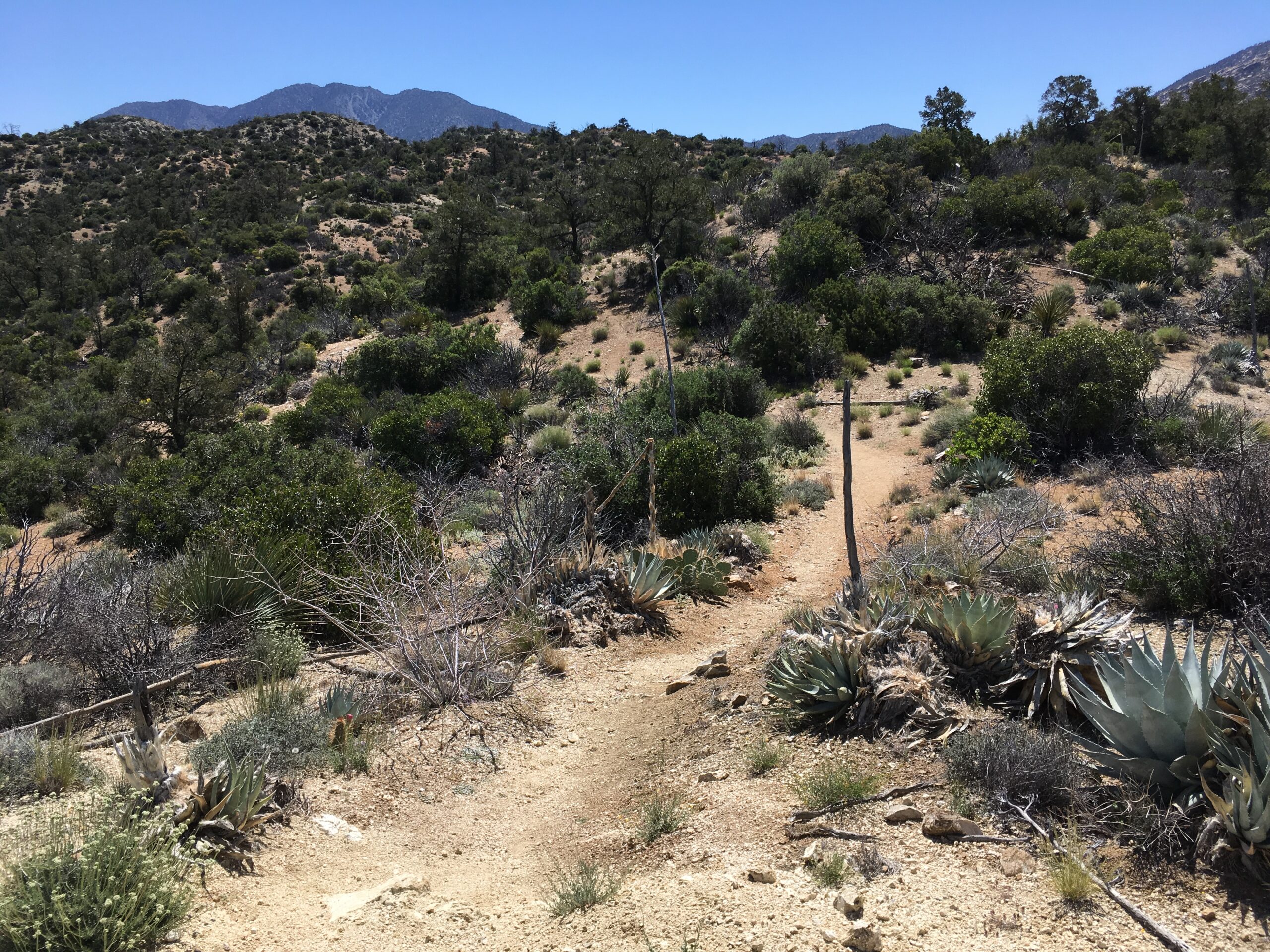
Views of Salton Sea Basin. From Sawmill trailhead parking lot off of Pinon Flats Transfer Station Road in Mountain Center, head down and take the Cactus Spring trail. You pass the Dolomite mine area, and further on enter Horsethief Canyon. Continue until fork, taking the left trail, Guadalupe Trail. The trail eventually intersects with Boo Hoff; hike to the left. Next, take Cove Oasis Trail across sandy wash to the Cove Oasis trailhead on Calle Tecate. Hope that your ride home is waiting there.
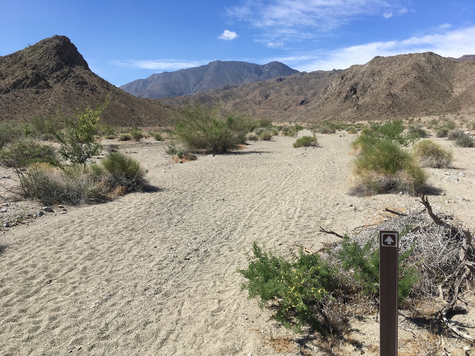
Trail begins off the parking lot at Avenida Bermudas/Calle Tecate in La Quinta Cove. In case you decide to reverse your Guadalupe hike: Start at Cove Oasis trailhead, hiking across sandy wash on Cove Oasis trail, staying left. At junction, take the right trail (Boo Hoff). Next junction, take Guadalupe to the right. Your trail ends at Cactus Spring; take trail to the right. You will dip down into Horsethief Canyon, then climb out again. You will pass the Dolomite Mine area (unless you choose to stop and check it out, and why wouldn’t you after how far you’ve come?). Nearly there. Continue to the Sawmill parking area and scan the lot hopefully/desperately for your ride. Whew!
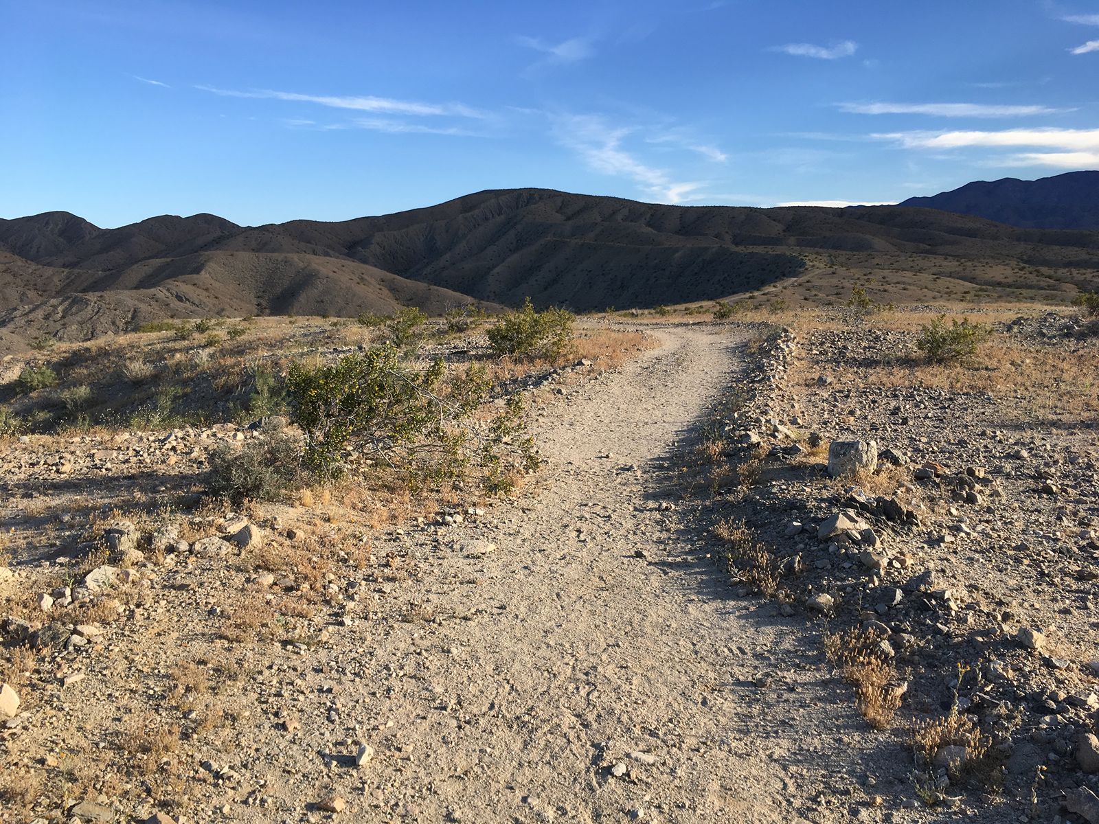
This hike is at the Coachella Valley Preserve located at Thousand Palms Canyon Road in Thouand Palms. From parking area, walk around hill on your right; curve left and follow wash with hill on your left; watch for trail to go up to your left; continue on to high point before returning.
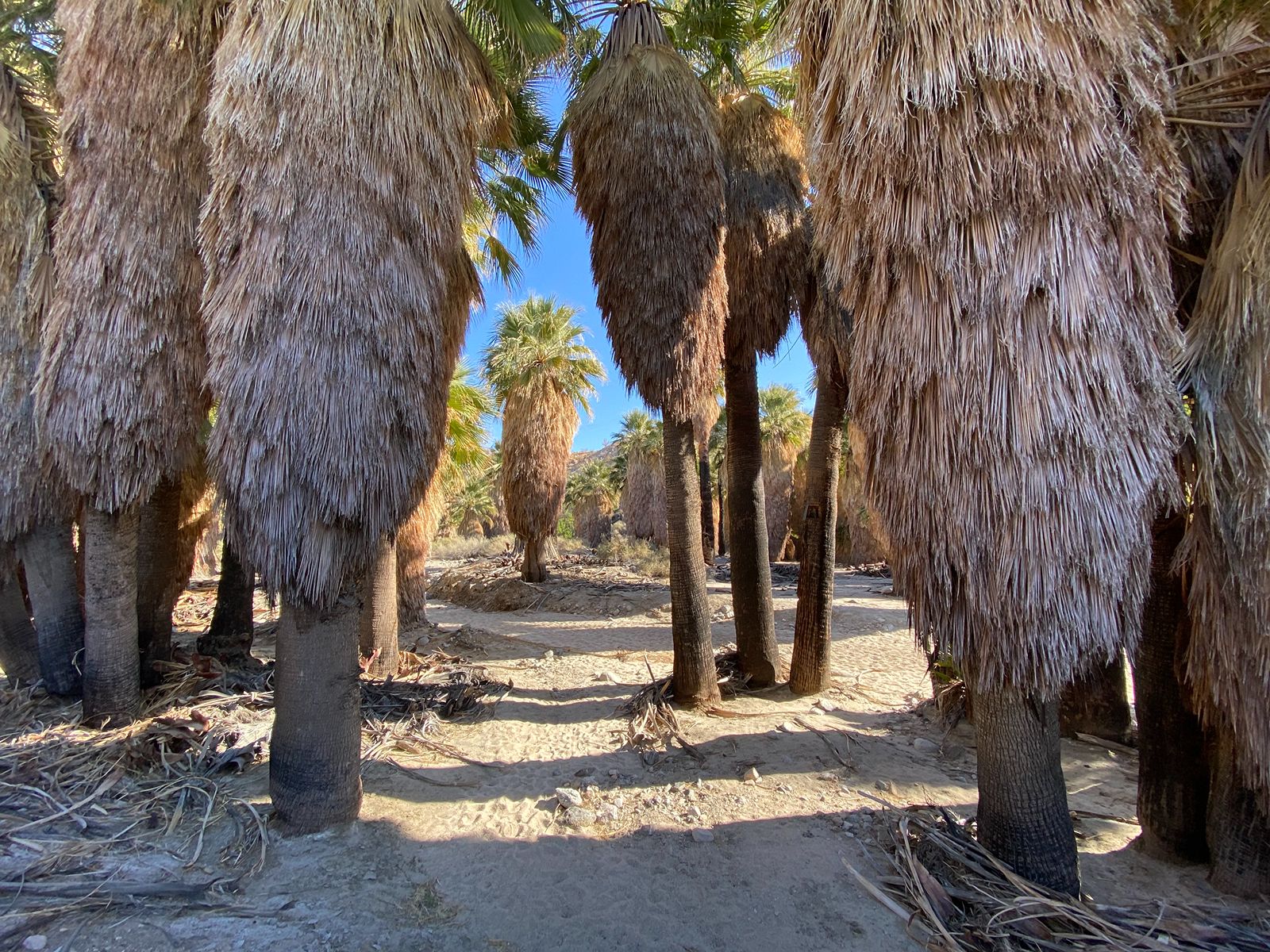
This hike is at the Coachella Valley Preserve located at Thousand Palms Canyon Road in Thouand Palms. From the trailhead parking area, follow sandy track toward mesa. Climb to top of ridge; at sign continue on to Hidden Palms Oasis. Explore, then return the same way you came.
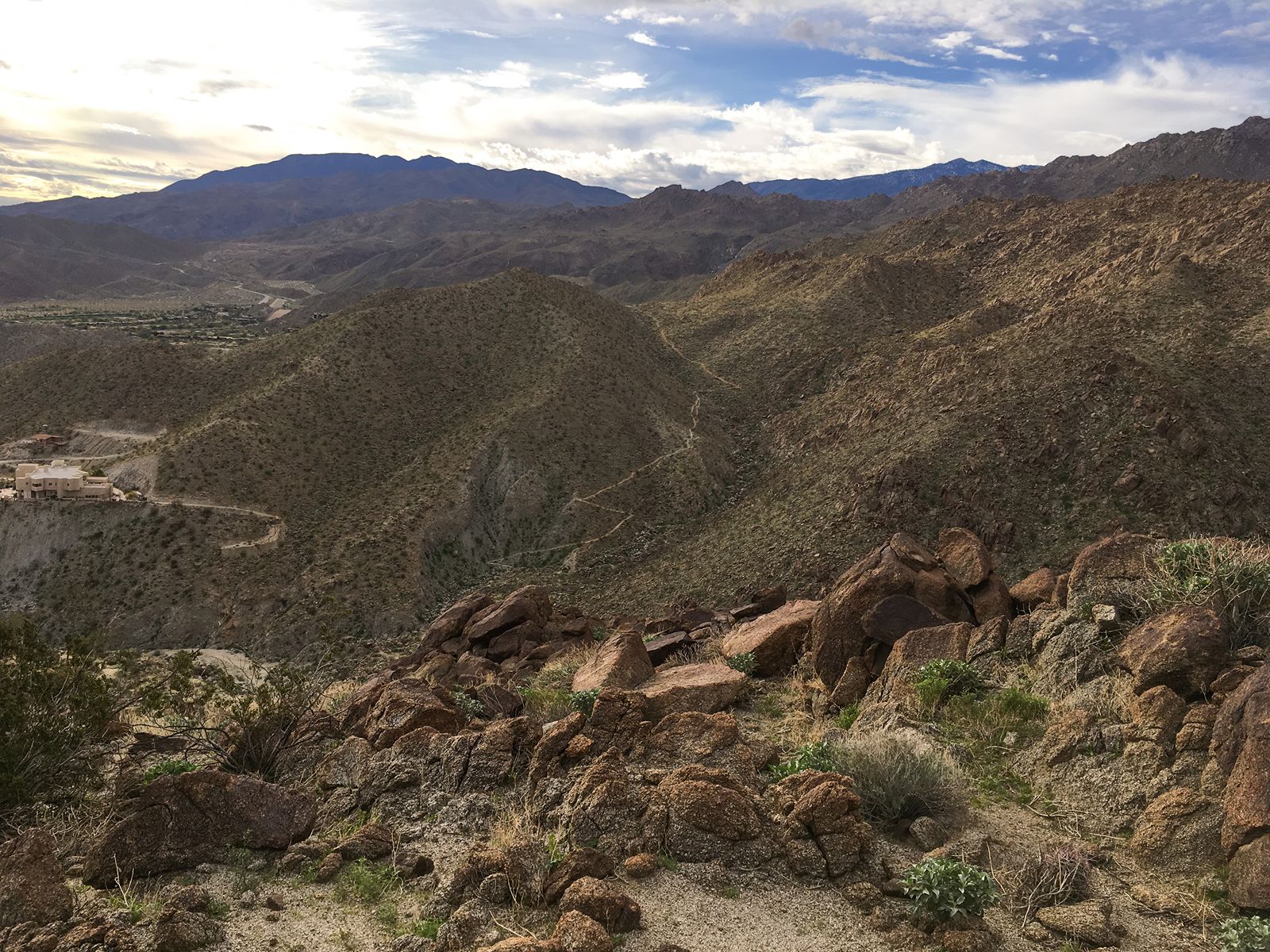
Fun fact: Hopalong was not a real person, but a beloved character of westerns (books, radio, movies and television); he was portrayed by many actors. Hoppy starts at Painter’s Path road behind Target in Palm Desert. Take trail left; at junction (Herb Jeffries), stay left on Hoppy. At junction (Gabby Hayes), stay right. Next junction (Homestead), take sharp right. Trail will take you right to the cross. Keep going; trail will briefly pass between Stone Eagle Dr. and a golf course. (Do not tee off). Trail intersects Art Smith; turn left and continue to parking lot.
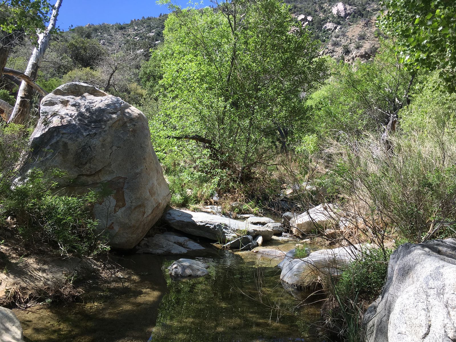
From Sawmill trailhead parking lot off of Pinon Flats Transfer Station Road in Mountain Center, head down and take the Cactus Spring trail. You pass the Dolomite mine area, and may want to walk down and explore the site. Continue to the creek bed. Return by the same route.

Trail begins off the parking lot at Avenida Bermudas/Calle Tecate in La Quinta Cove. From parking area, walk along street a short distance to trailhead. Start ahead, turning left on Cove Oasis trail. At junction with Boo Hoff, take left onto La Quinta Cove to Lake Cahuilla Trail. This trail gradually rises, then makes a long descent to the lake area. There is an admission fee to enter the recreation area. Otherwise, you can follow the wash back to the trail and return, or arrange to be picked up at Jefferson Street.
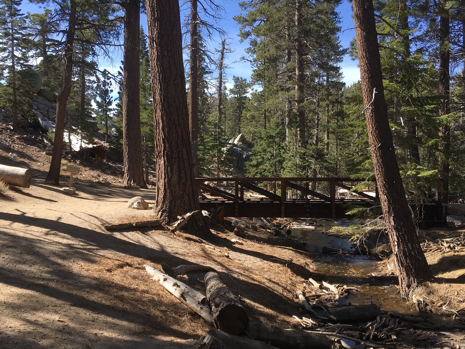
This trail requires purchase of a Palm Springs Aerial Tram Ticket. From the top of the tram, follow paved path down to Long Valley; turn left on Skyline; right on Nature Loop. Take left on Nature loop junction; continue back to Tram Station.
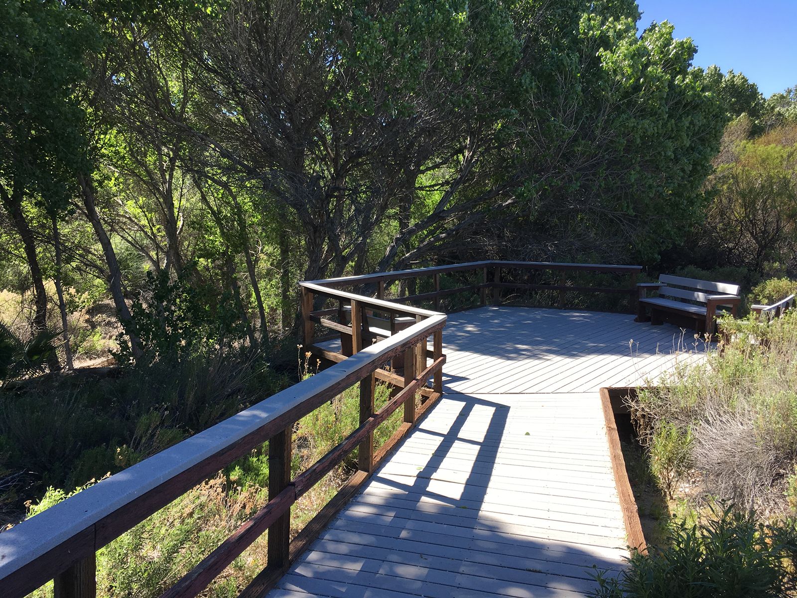
This brief trail is handicapped-accessible and family-friendly, providing a nature experience for all. From the parking lot at the Big Morongo Preserve in Morongo Valley, just a few steps brings you to the six-foot wide boardwalk, which borders a stream. Starting to the right, enjoy the marsh environment (including birds calling and frogs chirping), and continue along under a canopy of trees. Fun fact: this trail is very popular with birders, as the marsh supports the second highest density of breeding birds in the U.S.
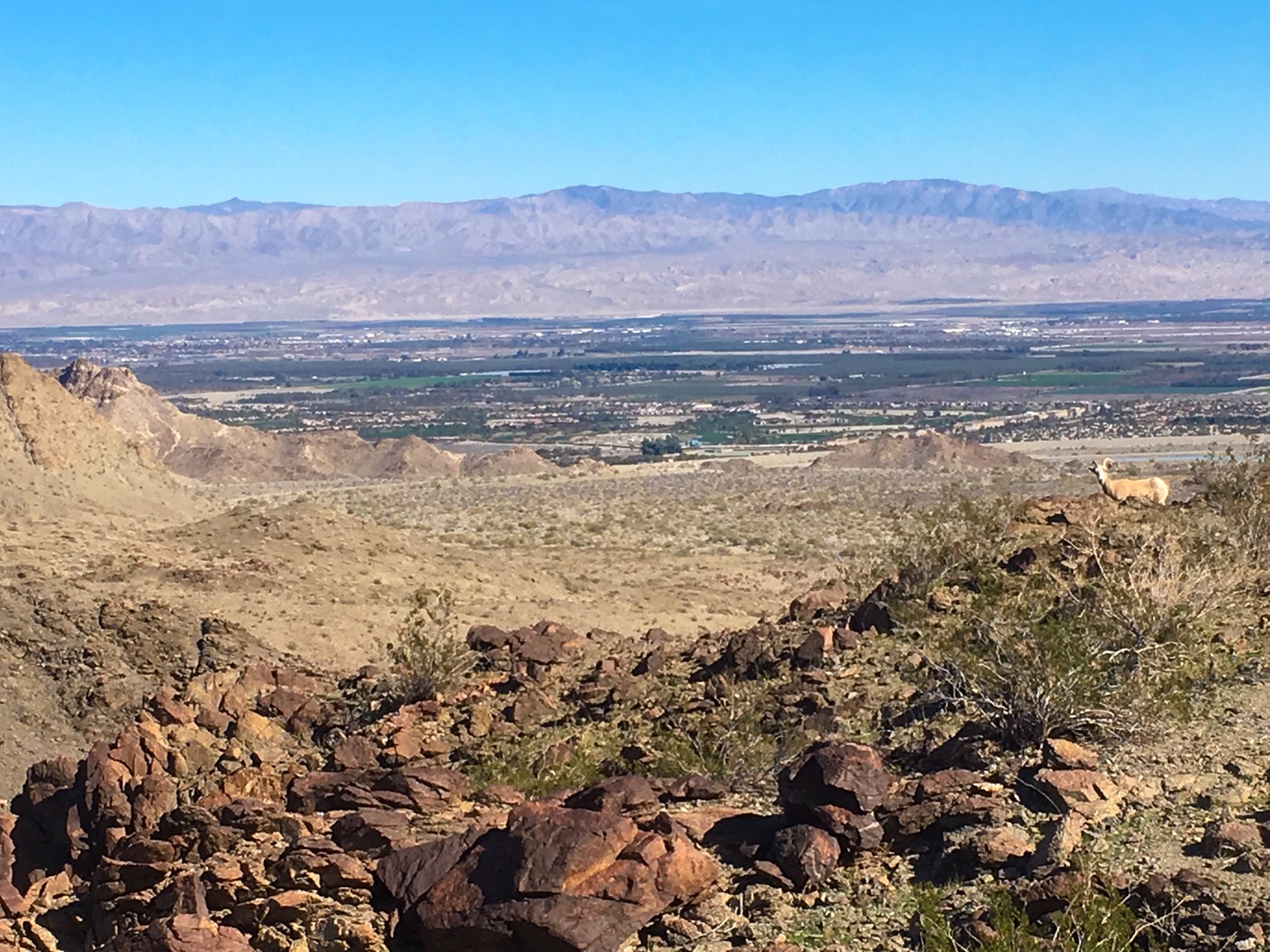
You will need a 4-wheeled vehicle to access pick-up point. From Sawmill trailhead parking lot off of Pinon Flats Transfer Station Road in Mountain Center, head down and take the Cactus Spring trail. You pass the Dolomite mine area, and further on enter Horsethief Canyon. Continue until fork, taking the right trail, Cactus Spring. This becomes Martinez Canyon trail. Hike the canyon until you reach pickup area.
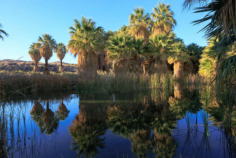
This hike is at the Coachella Valley Preserve located at Thousand Palms Canyon Road in Thouand Palms. This is a very popular, family-friendly walk. While nearly level, the track is loose sand most of the way; some may find the footing difficult. From parking lot, take trail past visitor center down towards stream. Follow stream to your right; next part of trail is boardwalk. Emerging from marsh area, trail becomes sandy and heads out to the pond. The oasis features the only indigenous palm, the fan palm, in California. Walk around pond and through oasis; then return on the same trail back to parking lot. Fun fact: The water in the Preserve springs from the San Andreas earthquake fault. Yes, you are on the fault!
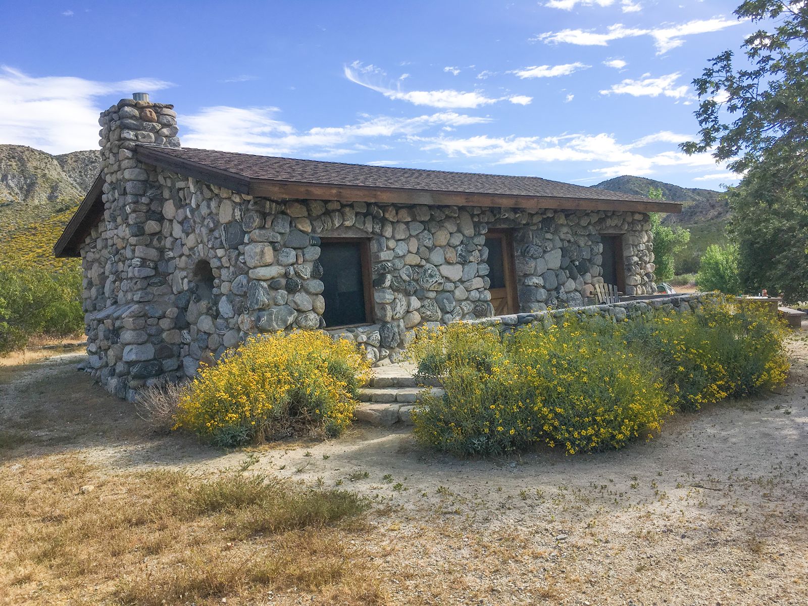
This hike is at the Mission Creek preserve located on Mission Creek road off Hwy. 62 in Desert Hot Springs. Nice family trail, walking along a creek to the historic Stonehouse. Follow Mission Creek Rd from parking area to the Stonehouse. Informative displays and restrooms. Return by same road.
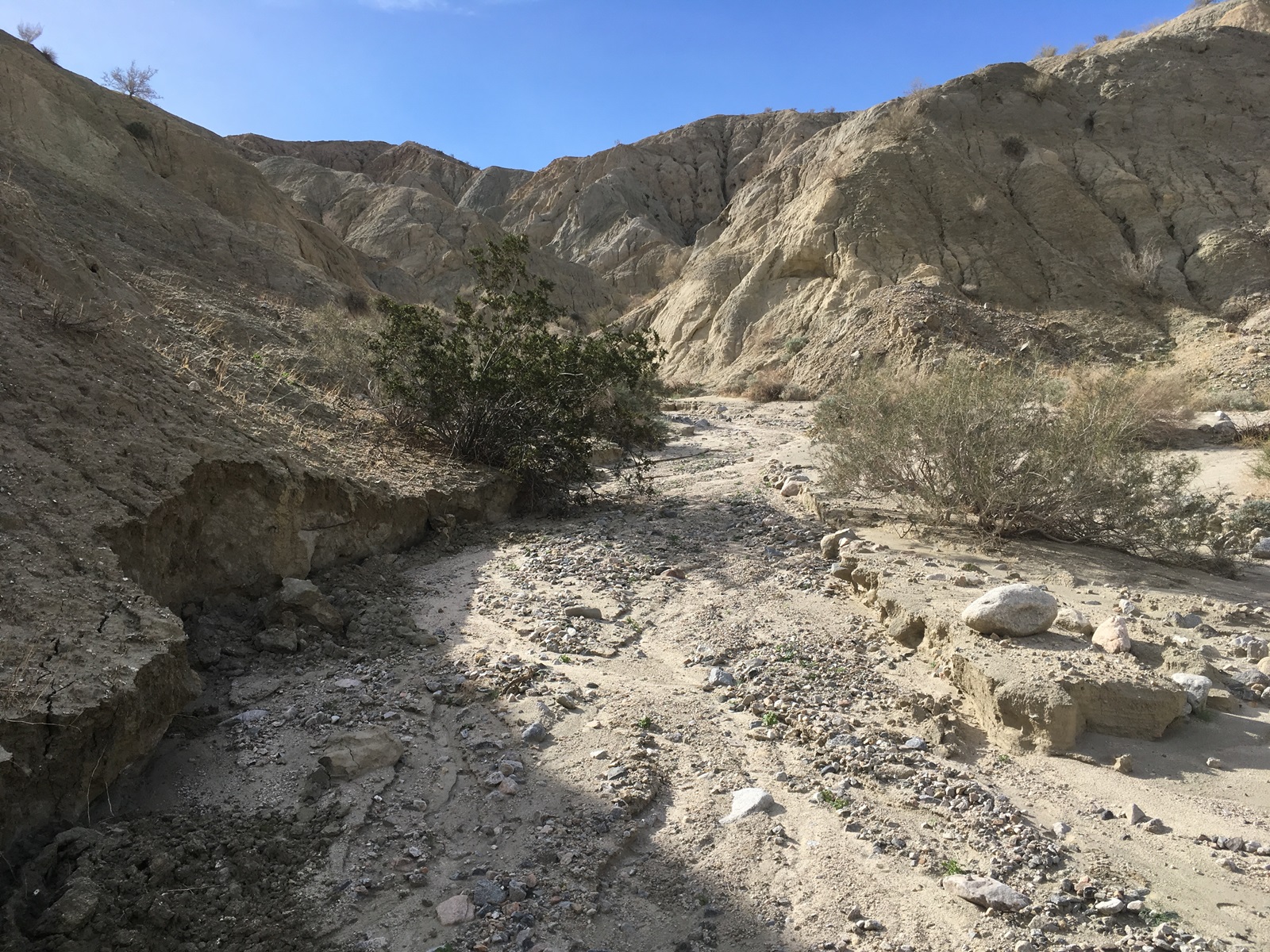
This hike is at the Coachella Valley Preserve located at Thousand Palms Canyon Road in Thouand Palms. From parking lot, take trail past visitor center down towards stream. Follow stream to your right; next part of trail is boardwalk. Emerging from marsh area, trail becomes sandy and heads out to the pond and fan palm oasis. Follow trail; just past pink house, turn left (McCallum (Loop) Trail), which turns right and follows wash. Take Moon Country trail left and follow loop around. Turn left at McCallum (Loop) Trail and follow exit sign to parking lot. To the moon and back!
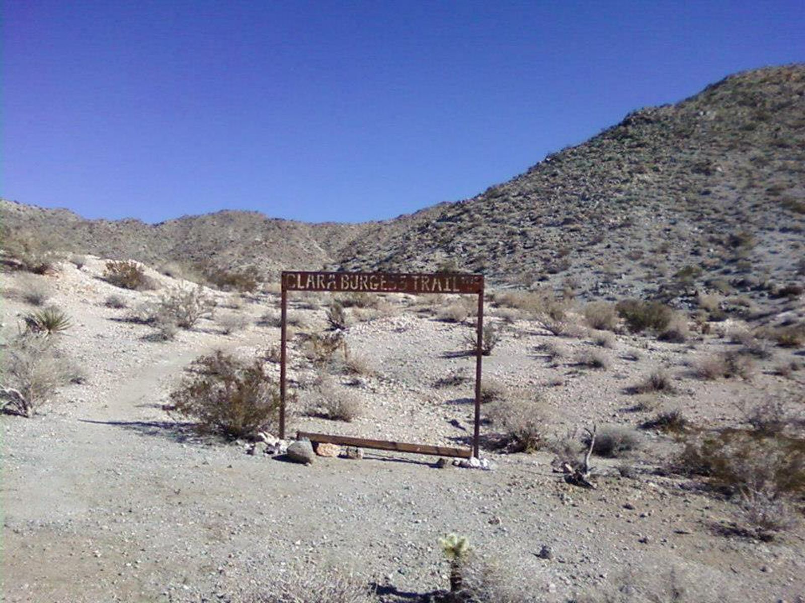
Start at the Thielman Trail (aka Frank Bogert) located off Bogert Trail and Andreas Hills Drive in Palm Springs. Right on Wild Horse Trail; Left on Clara Burgess Trail to Murray Peak; return.
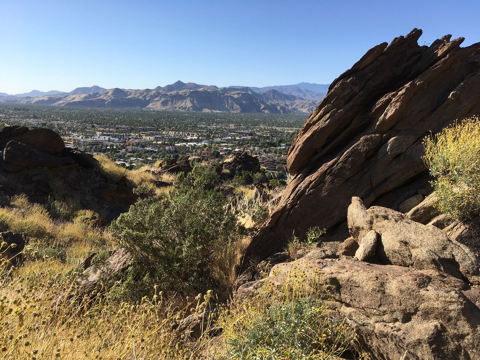
From the trailhead behind the Museum lot in Palm Springs, take the Museum trail up to the picnic tables. Rest. Eat, maybe. Return by the same route.
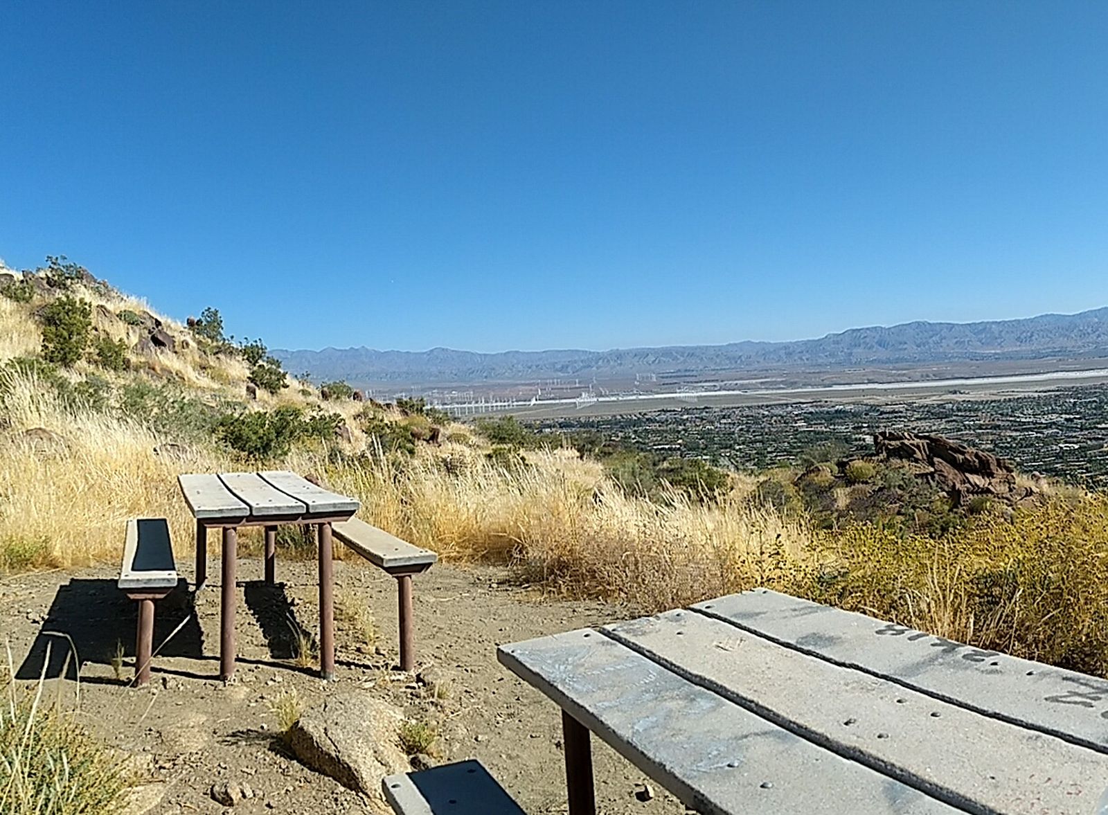
From trailhead at W. Ramon/La Mirada intersection in Palm Springs, take trail up. At junction, go right on Museum trail and walk to picnic tables before returning.
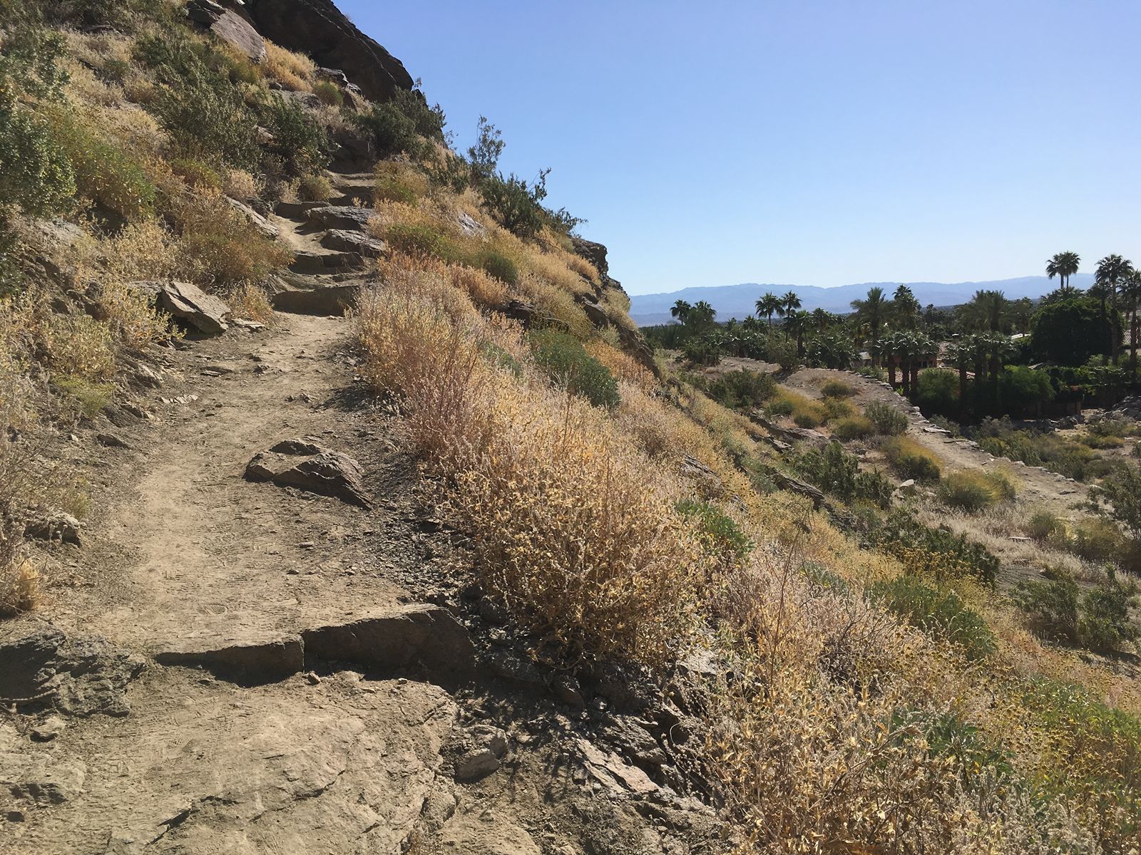
From trailhead at W. Ramon/La Mirada intersection in Palm Springs, take trail up. At junction, go right on Museum trail, continuing past picnic tables. Upon reaching Museum parking lot, proceed to Museum Drive. Take a left on W. Tahquitz Canyon. Turn right on S. Palm Canyon, and window shop (or actually shop or dine, even) as you continue to W. Ramone. Turn right to return to trailhead. Fun fact: Carl Lykken founded the Desert Riders in 1931.
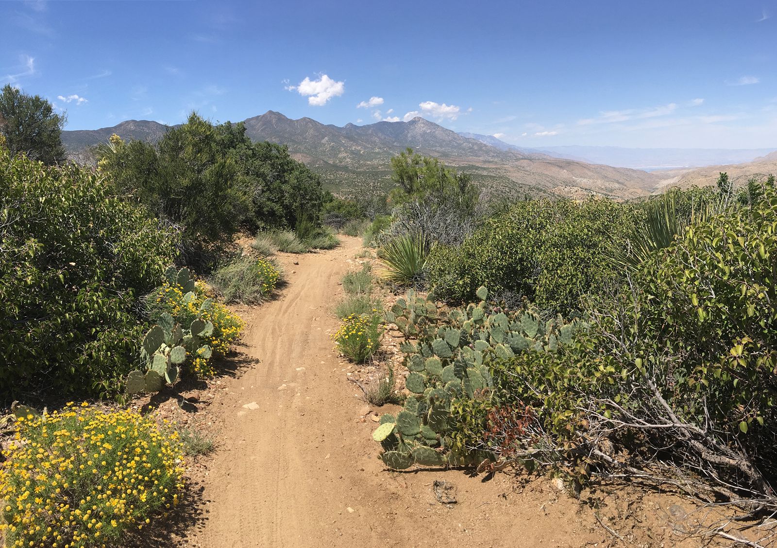
This hike begins and stays on Palm Canyon trail. Start at the trailhead located at the end of Pine View Drive off Hwy 74 in Mountain Center. At junction with Indian Potrero, stay right on Palm Canyon. At Dry Wash trail, go right. Left on Dunn Rd. Ride through Cathedral Canyon, staying on Dunn. End at Channel Dr. where your ride is waiting.

From the trailhead behind the Museum lot in Palm Springs, take Museum trail up. Continue past picnic tables to junction with N. Lykken, turn right. Take Skyline (left) to about 4000′ and enjoy view before returning.
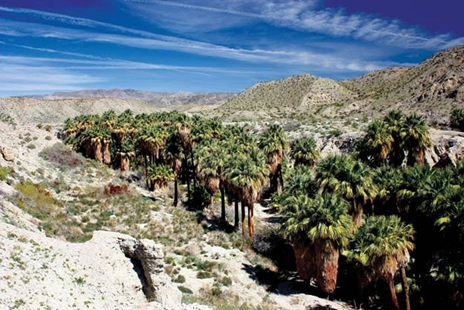
This is a bonus hike in that you get to visit two oases on one trail — woot! From the parking area off Thousand Palms Canyon Road in Thousand Palms, follow sandy track toward mesa. Climb up for an impressive 360-degree view. Follow ridge until you see first oasis on your right. You may take trail down into Horseshoe Oasis; then climb back up to ridge. Continue on to Pushwalla Oasis. There are two options for your return: 1) (recommended) Return back along the ridge the way you walked out. 2) Follow the wash floor back to the parking area. This is rather a long slog: narrow, rocky, mostly packed/loose sandy track. Boring. Limited view.
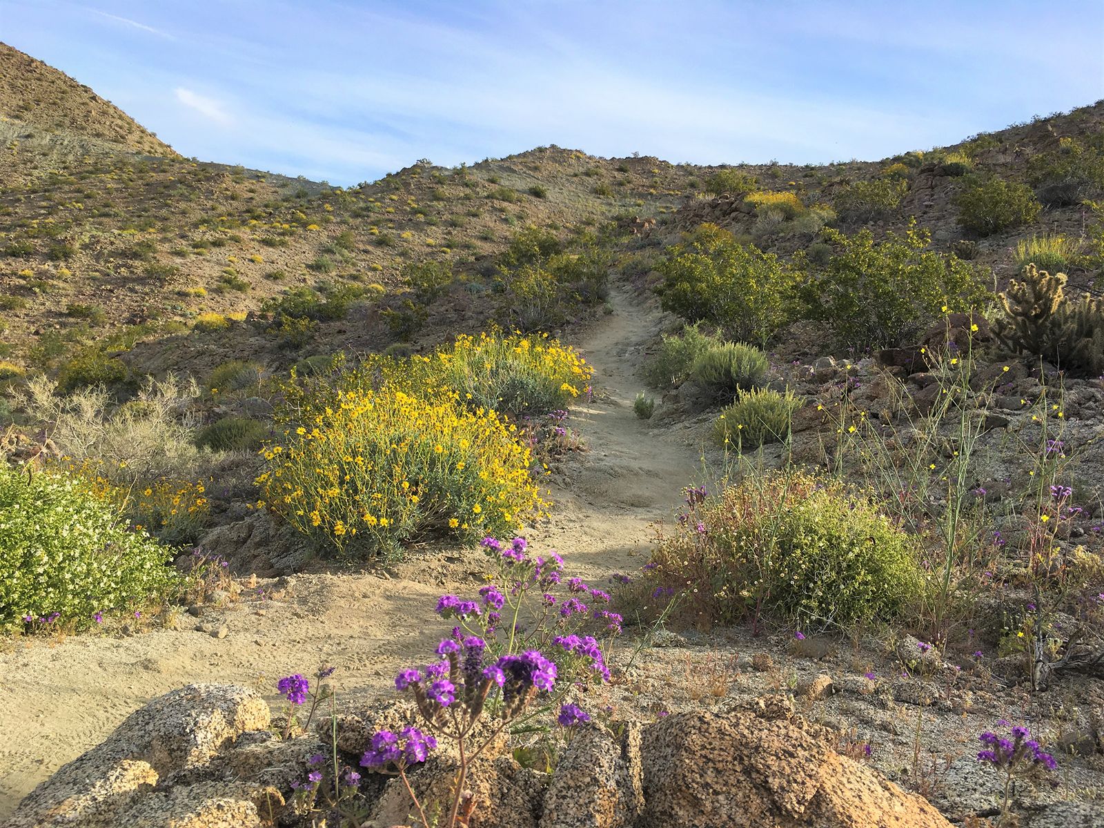
This trailhead is located off the first parking area you come to when you turn into the National Monumen Visitor Center off of Hwy 74 in Palm Desert. Take Randall Henderson trail past the kiosk and turn left to go up the stairs. Follow trail to signpost #6 and continue up the trail on the left. At the intersection of the Canyon and Cholla trails, turn left to begin the 3rd loop, Canyon. After a steep hike you will arrive at the top (signpost #8) for a brief rest stop to take in the views. Please respect the property of the bighorn Ssheep reserve by staying on the trail – take the road around to the right. You will come to an intersection of a dirt road to the left that leads to Hwy 74 – this is not part of the trail. Continue straight up the small hill and then down. At signpost #11 turn left and continue down to the parking lot.
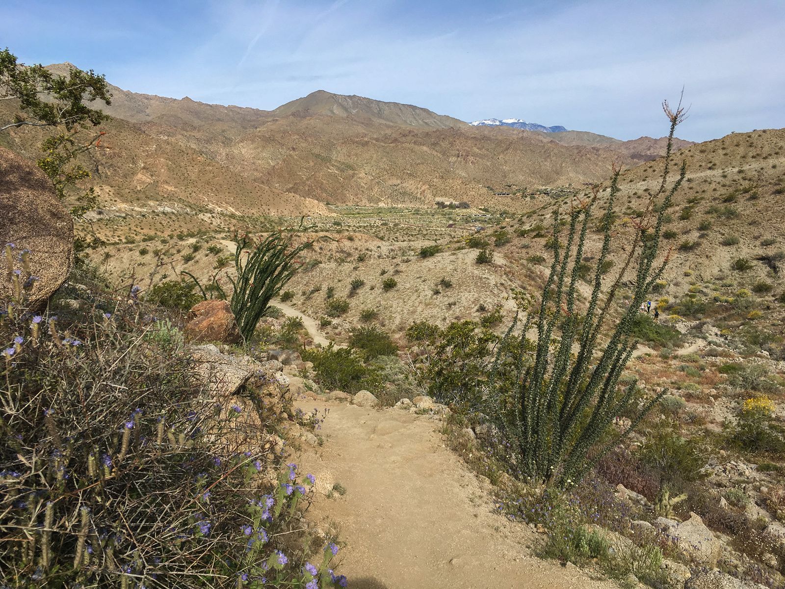
This trailhead is located off the first parking area you come to when you turn into the National Monumen Visitor Center off of Hwy 74 in Palm Desert. Take Randall Henderson trail past the kiosk and turn left to go up the stairs. Follow trail to signpost #6 and continue up the trail on the left. At the intersection of the Canyon and Cholla trails, turn right. Take a brief rest stop at the bench before continuing to the next intersection at signpost 11 where you will take a right. It’s all downhill from here back to the parking lot.
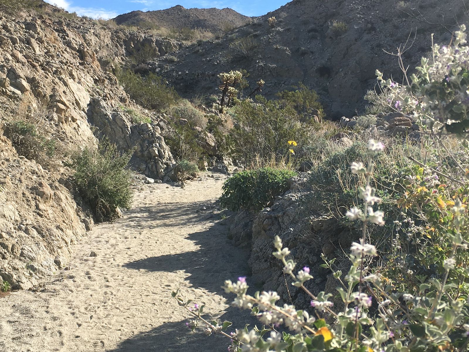
This trailhead is located off the first parking area you come to when you turn into the National Monumen Visitor Center off of Hwy 74 in Palm Desert. Take Randall Henderson trail past the kiosk and turn left to go up the stairs. Follow trail to signpost #6. Turn right and then another right to continue back to the parking area along the ridge. Fun fact: Randall was passionate about the desert; he wrote extensively about it and worked to protect and conserve desert areas.
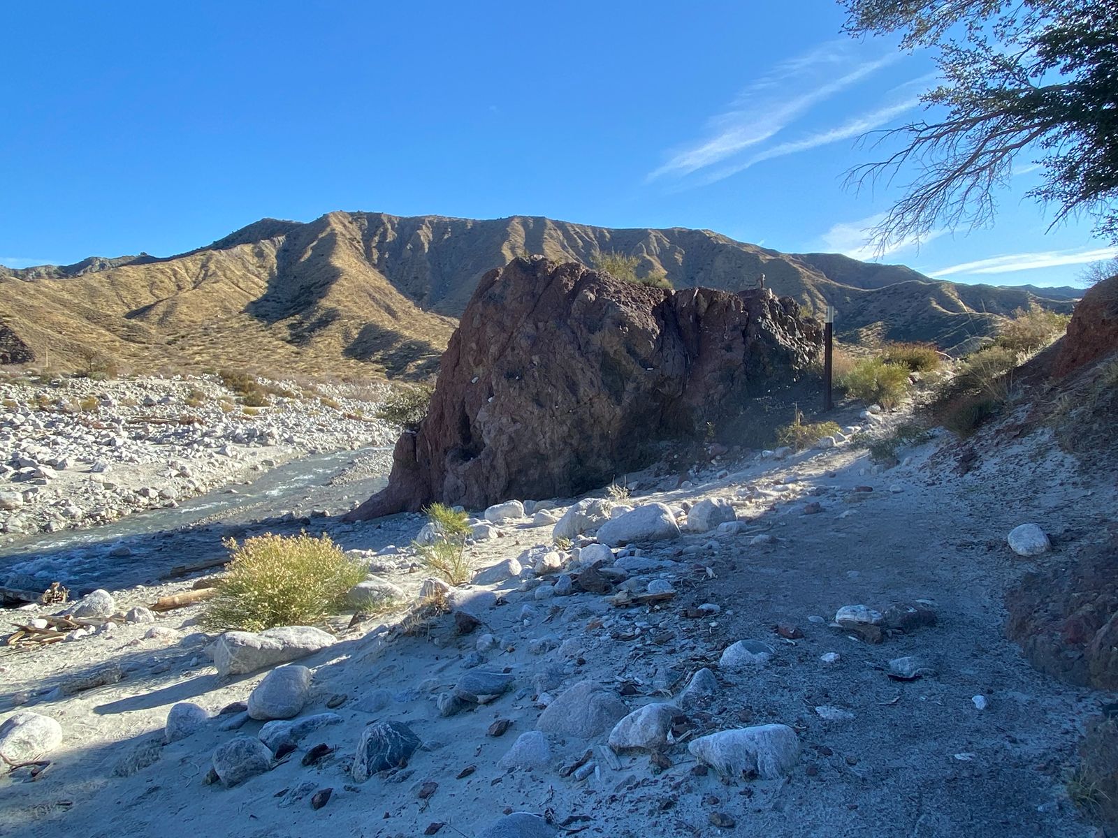
This hike is at the Whitewater Preserve in the Sand to Snow National Monument. Nice hike to a small red rock hill. From parking lot, take Whitewater Canyon Ridge (Loop) Trail. The Pacific Crest (National Scenic) Trail will cut off on the right.
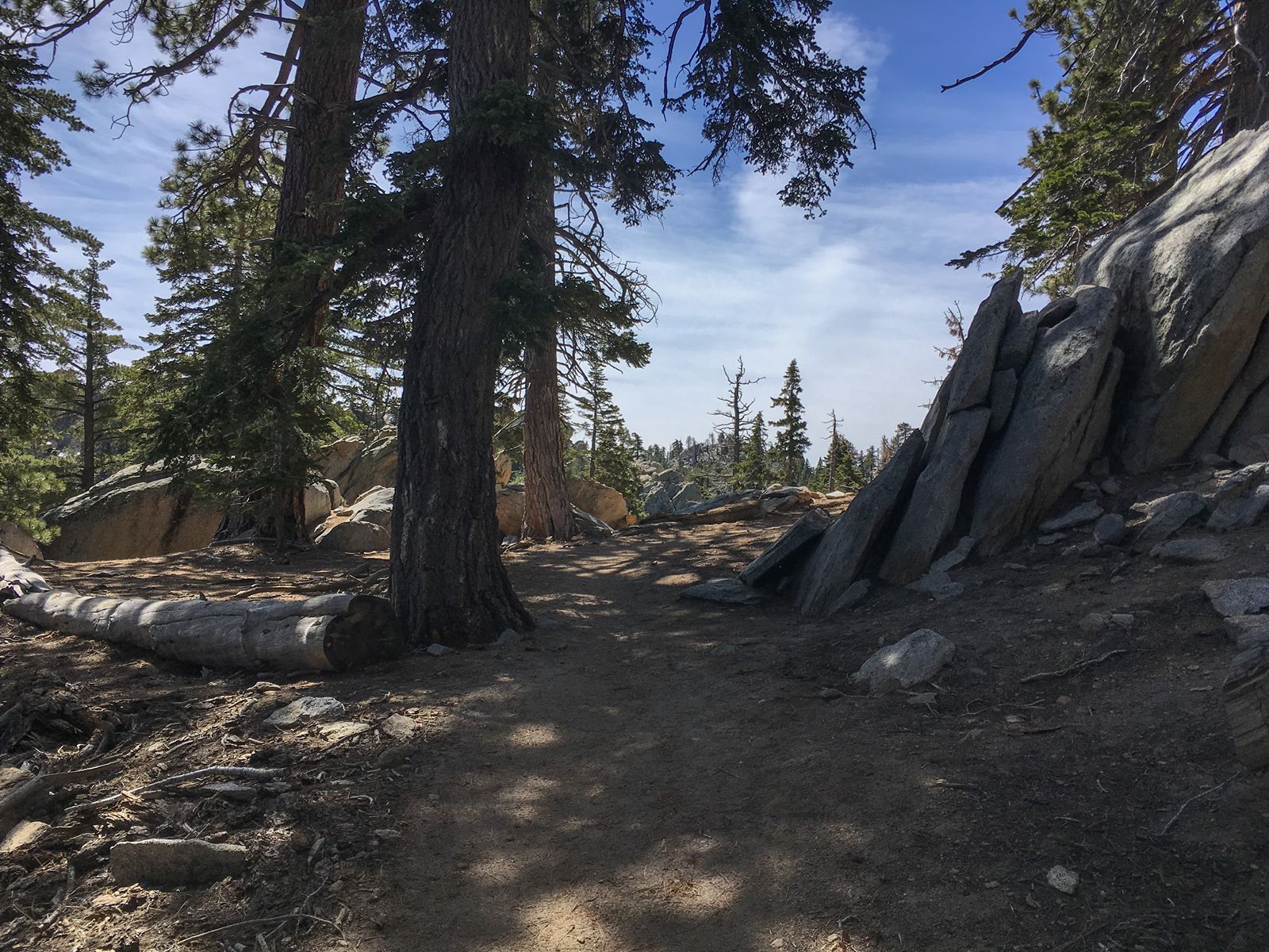
This trail requires purchase of a Palm Springs Aerial Tram Ticket. From the top of the tram, follow paved path down to Long Valley ranger station to fill out a free hiking permit; turn right on Round Valley Trail. Approx. 2 miles at junction, take left turn on to Round Valley High Trail. At junction with Willow Creek, turn left. Right on Round Valley trail will take you back to the station.
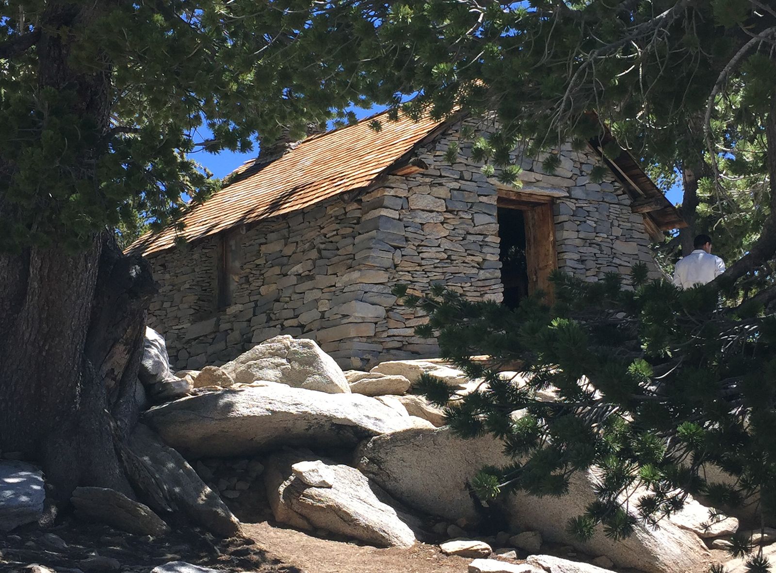
This trail requires purchase of a Palm Springs Aerial Tram Ticket. From the top of the tram, follow paved path down to Long Valley ranger station to fill out a free hiking permit Keep going on Round Valley Trail/Round Valley Low Trail. Keep going on Wellman Divide. Take right on Peak (San Jacinto) Trail to top of peak. Rest. Breathe. Return.
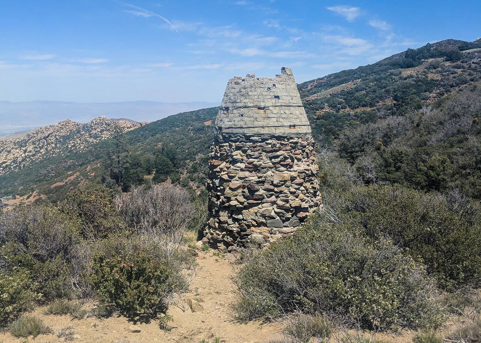
From Sawmill trailhead parking lot off of Pinon Flats Transfer Station Road in Mountain Center, take Sawmill trail up to the kiln, which was used for drying lumbar back in the sawmill days. Return.
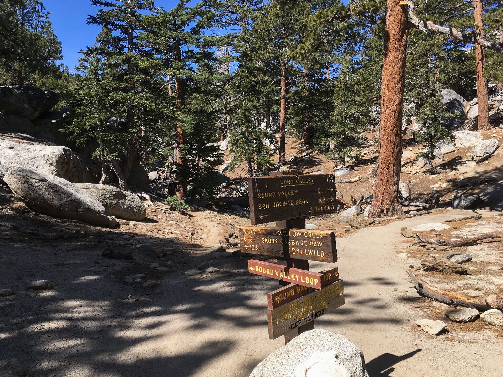
From the trailhead behind the Museum lot in Palm Springs, take the Museum trail up. At fork, take right onto Skyline trail. At junction with N. Lykken, stay left on Skyline. You will reach the 4000′ level, where many people enjoy the view, then return to the museum. But not you. No sireee. The trail eventually connects with the tramway trail. Follow it down to the station, and hope you remembered to bring your fare.
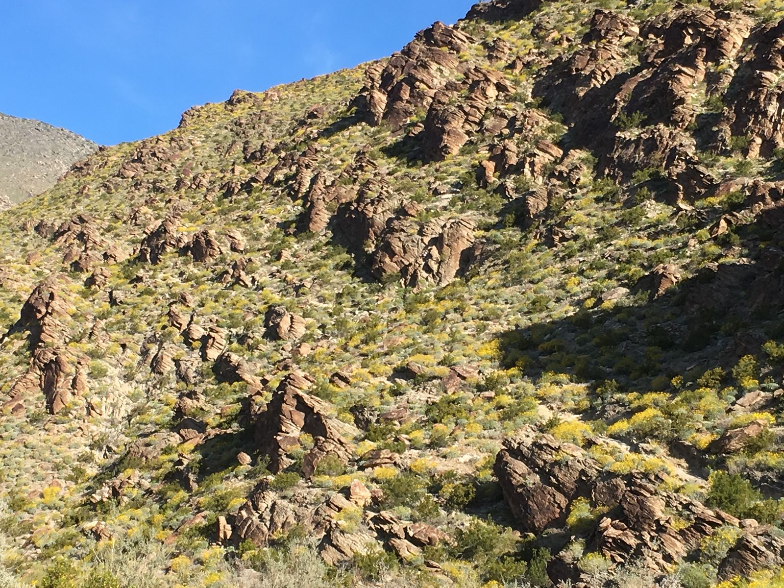
Another popular “exercise trail” with great views of Palm Springs. From the trailhead at S. Palm Canyon road in Palm Springs, take trail up to picnic tables before returning the same way.
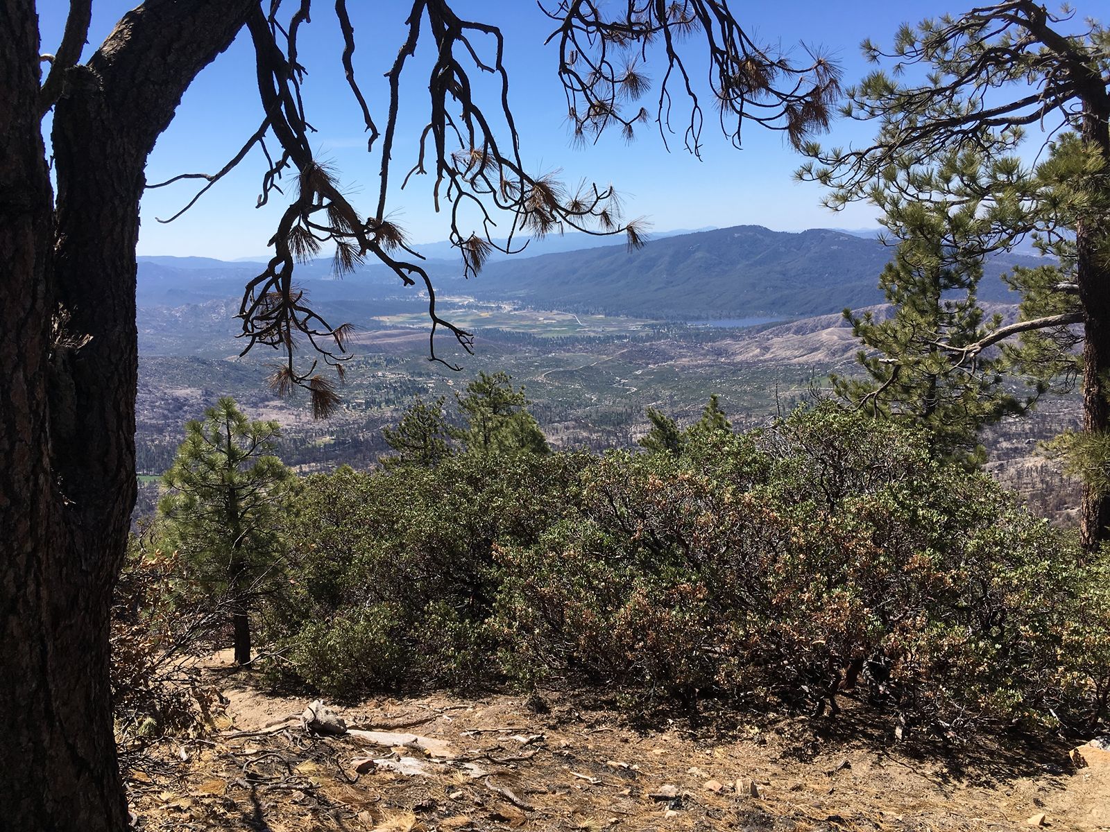
Wilderness hiking permits required (free from ranger station on PIne Crest in Idyllwild). Trailhead is located on Forest Route 5S11 off of Tahquitz View Drive, Idyllwild. This is a steep dirt road that often washes out and can be inaccessible by car. If so, park at bottom of road on Tahquitz View Drive and walk up the road to trailhead, adding another 2 miles rt to hike. From trailhead, head up through the pine forest – about half way on the left is a large, flat rocky area with views towards Hemet, perfect for a picnic. Last section is the steepest, ends at fire lookout. So, look out — at views of the Desert Divide and the Pacific Crest Trail. If the tower is open, ask about getting your squirrel card. Return.
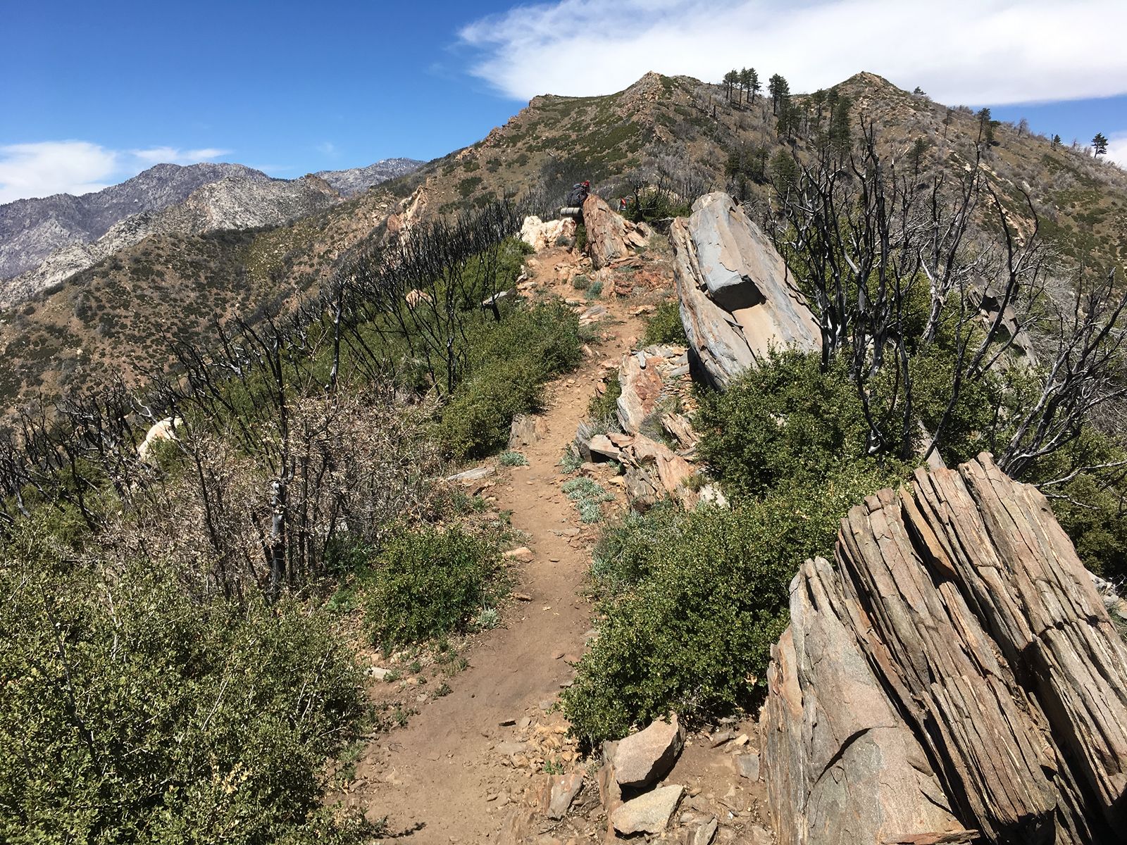
Wilderness hiking permits required (free). From parking area on Apple Canyon Road in Mountain Center, take Spitler Peak Trail. Enjoy views of Lake Hemet on the way up. At intersection with PCT, take right. You are now on the Desert Divide, walking the ridge with views to the desert and the ocean. The path to the peak is on the right, about a quarter mile beyond the junction and may be difficult to find. Return the same way.
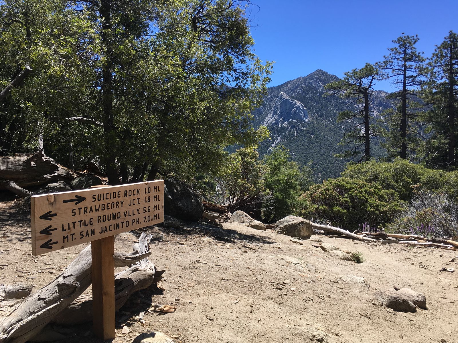
Wilderness hiking permits required (free). From the parking area on Hwy 243 in Idyllwild, take Deer Springs trail up. Take right fork (Suicide Rock Trail) to top of rock. Be prepared for boulder scrambling. Jumping off strongly discouraged. Instead, return to your vehicle, and stop off in Idyllwild for ice cream.
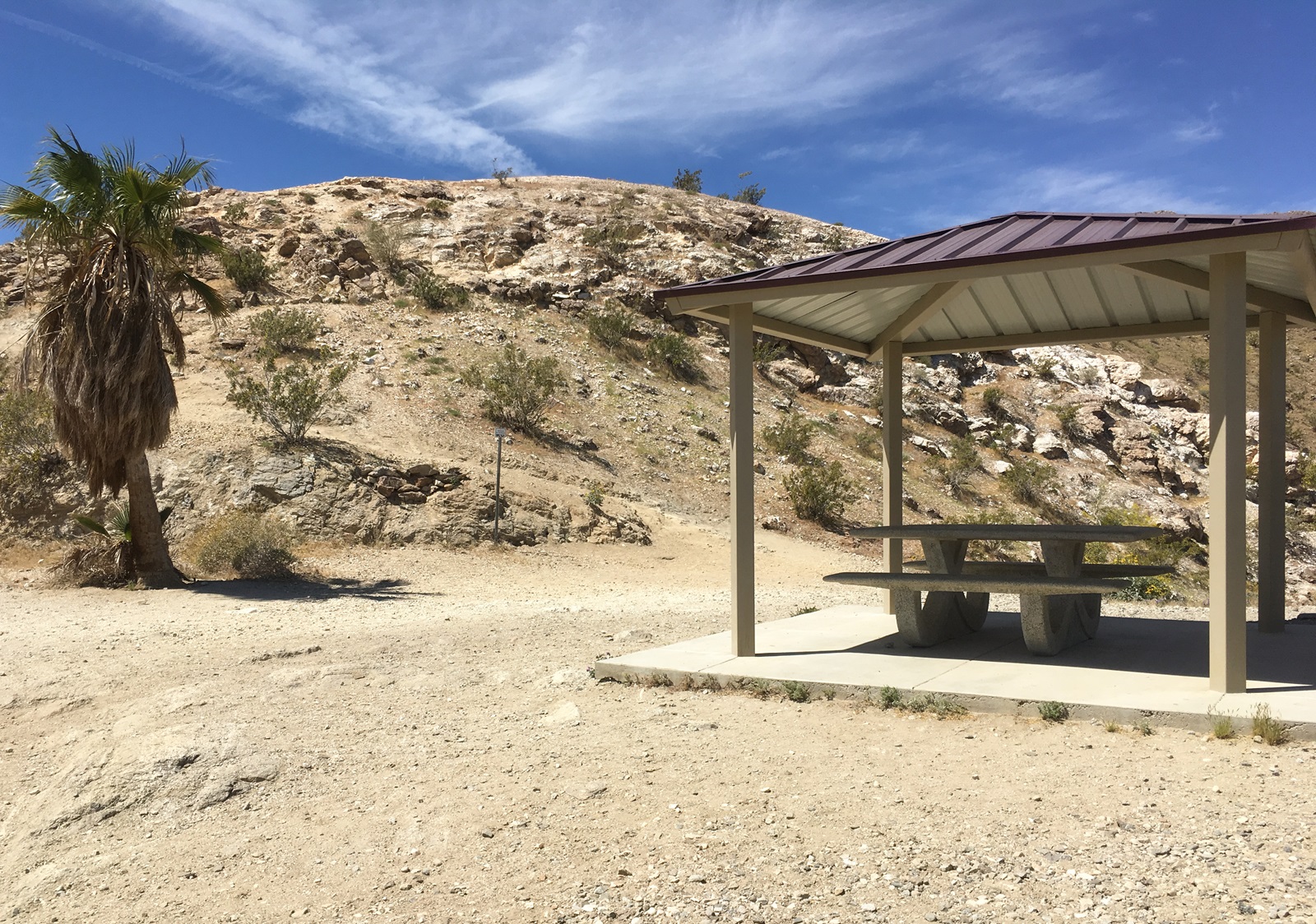
From parking area near Homme Adams park on Calle de los Campesinos in Palm Desert, cross park area and head up Homestead Trail. At the fork, veer left on Hopalong Cassidy Trail. Continue on to cross; return by same route.
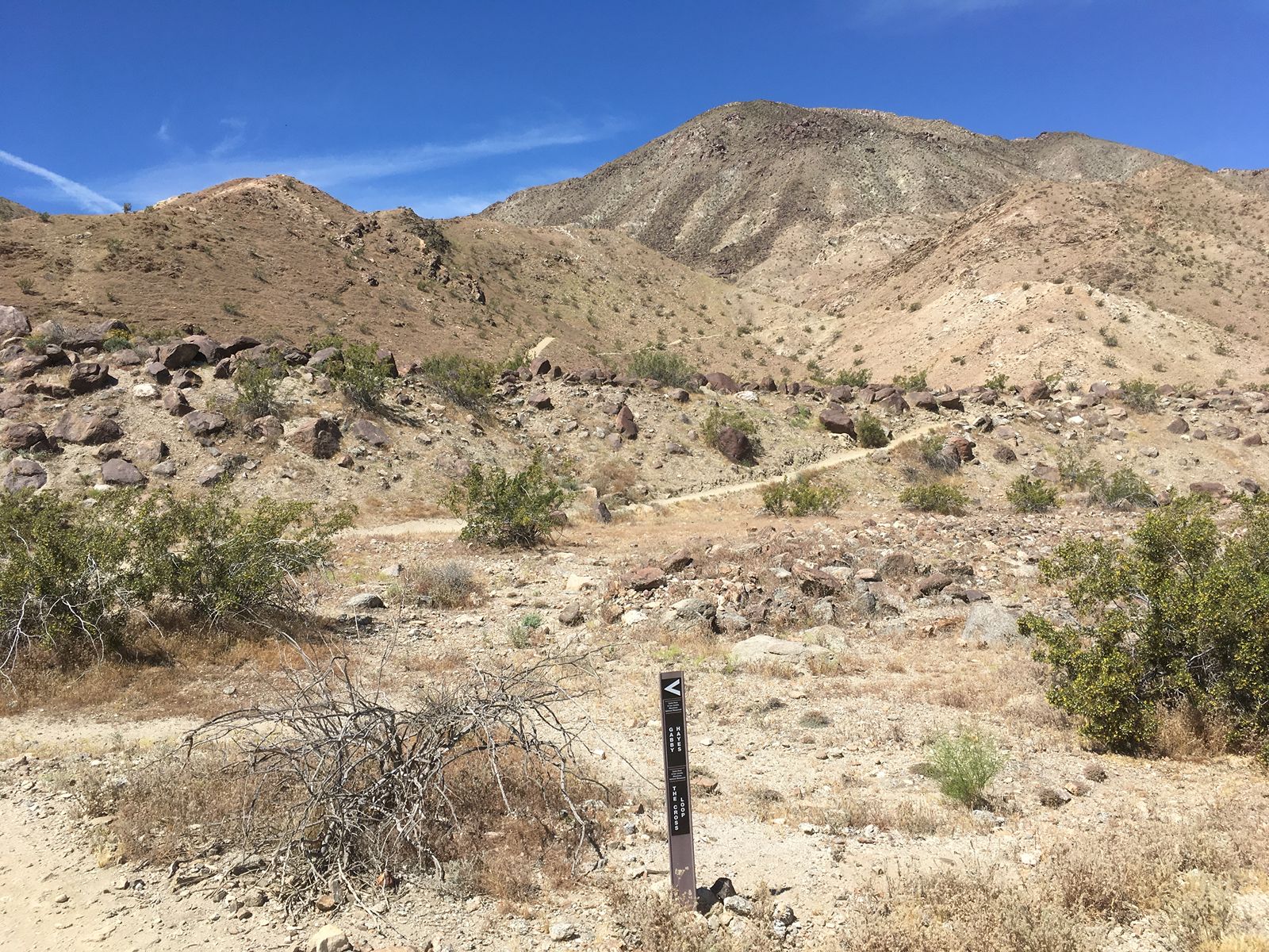
From the trailhead at Cahuilla Hills Park on Edgehill Dr in Palm Desert, take Gabby Hayes Trail. At intersection, take Hopalong Cassiday to the left. Stay on Hoppy until you reach the cross. It’s really hard to miss. Start your return on Hoppy, but take the Homestead trail to the right. This will take you down to the Homme Adams Park. Walk out to road; turn left at the wash, and follow back to Cahuilla Hills parking. Fun fact: George “Gabby” Hayes” was often cast as the side-kick in 30’s and 40’s westerns.
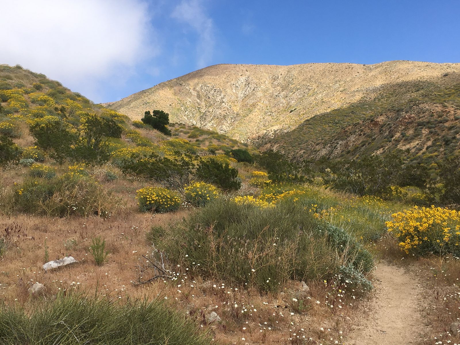
This hike is at the Whitewater Preserve in the Sand to Snow National Monument. From parking lot, take Whitewater Canyon Ridge (Loop) Trail, then left on the Pacific Crest (National Scenic) Trail. Continue on down until you reac the parking lot off the Haugen-Lehmann exit on Interstate 10.
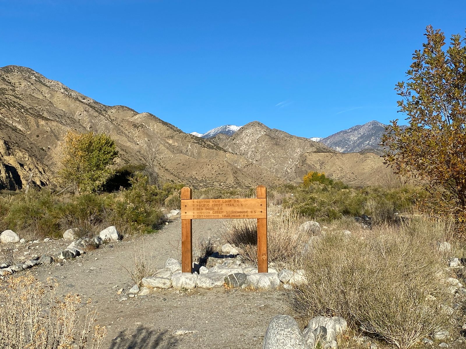
This hike is at the Whitewater Preserve in the Sand to Snow National Monument. From parking lot, take Whitewater Canyon Ridge (Loop) Trail. The Pacific Crest (National Scenic) Trail will cut off on the right. Hike to end point and return. Or just keep going, and going, and going…
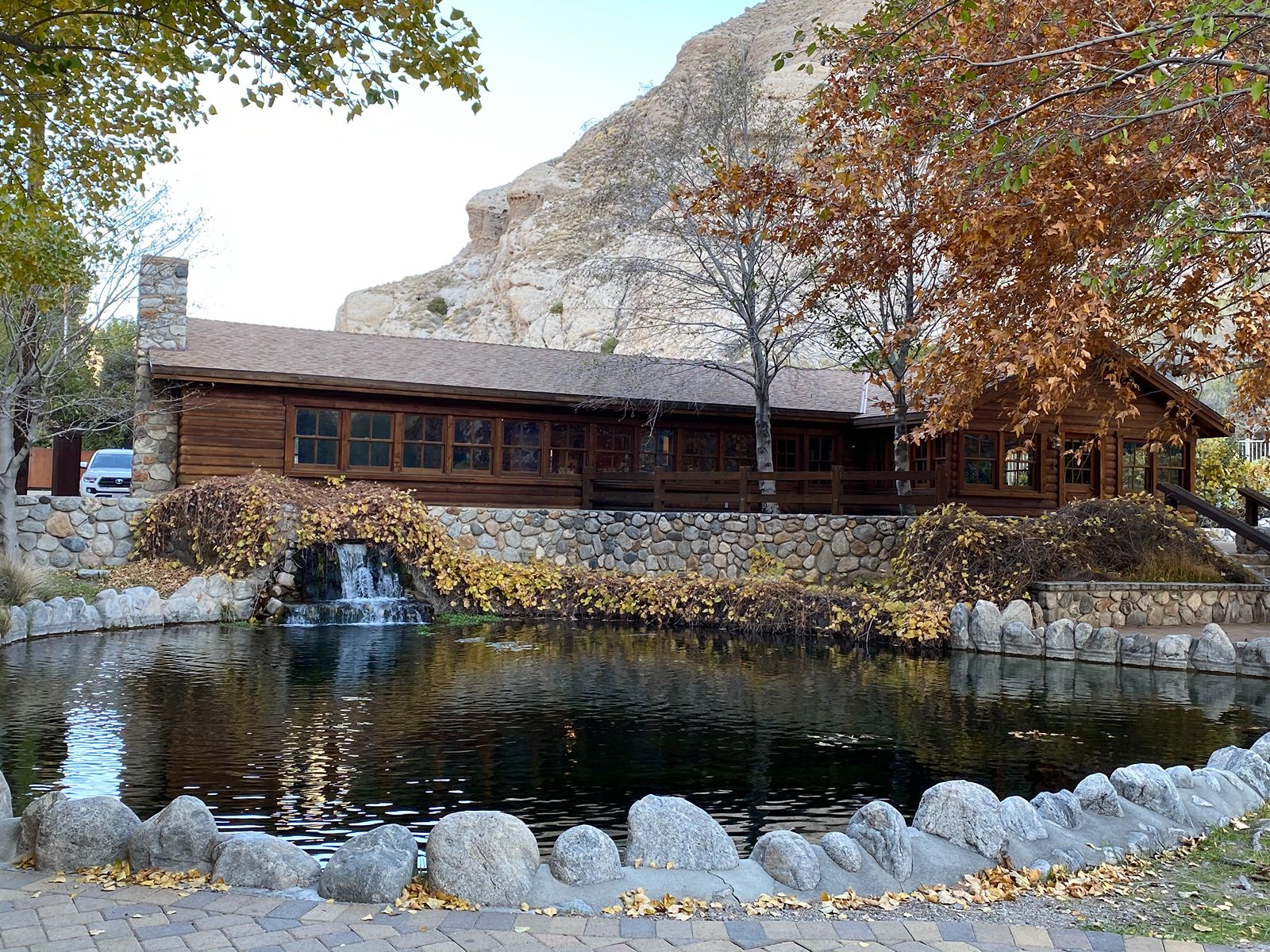
This hike is at the Whitewater Preserve in the Sand to Snow National Monument. From parking lot, take Whitewater Canyon Ridge (Loop) Trail, then left on the Pacific Crest (National Scenic) Trail. Take the left on Whitewater Canyon Ridge (Loop) Trail which leads down to Whitewater Canyon Road. Parallel the road briefly before turning left and returning to the parking lot.
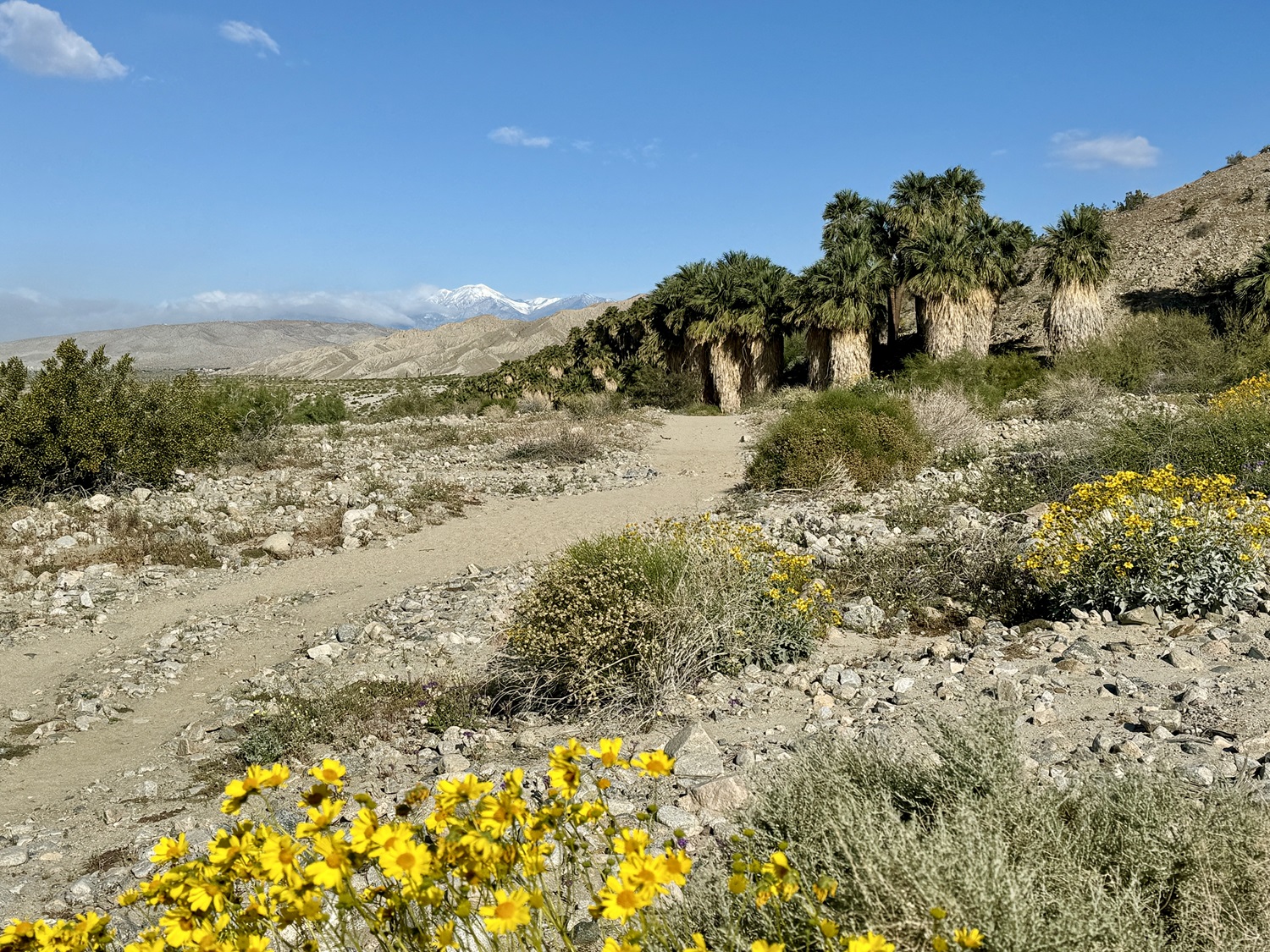
From the parking area off Thousand Palms Canyon Road in Thousand Palms, walk around hill on your right; curve left and follow wash with hill on your left; watch for trail to go up to your left. Trail is well demarcated and follows ridge for great views, including the oasis below you. There are two options for return: 1) (recommended) Return back the way came. 2) Walk down to your left, and follow the wash floor back to the parking area. This is mostly packed/loose sandy track, but you will pass right by the oasis.